Yearly Archive: 2014

Pedestrian Day in Cochabamba

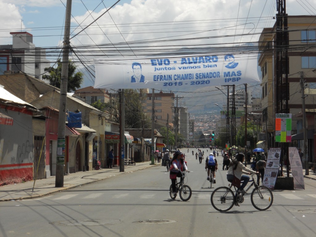
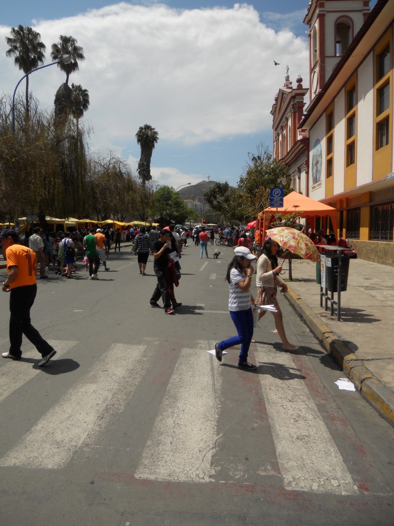
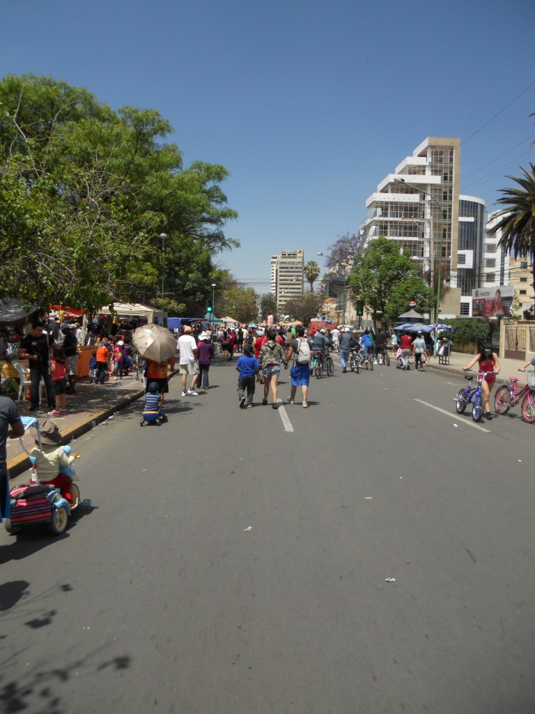
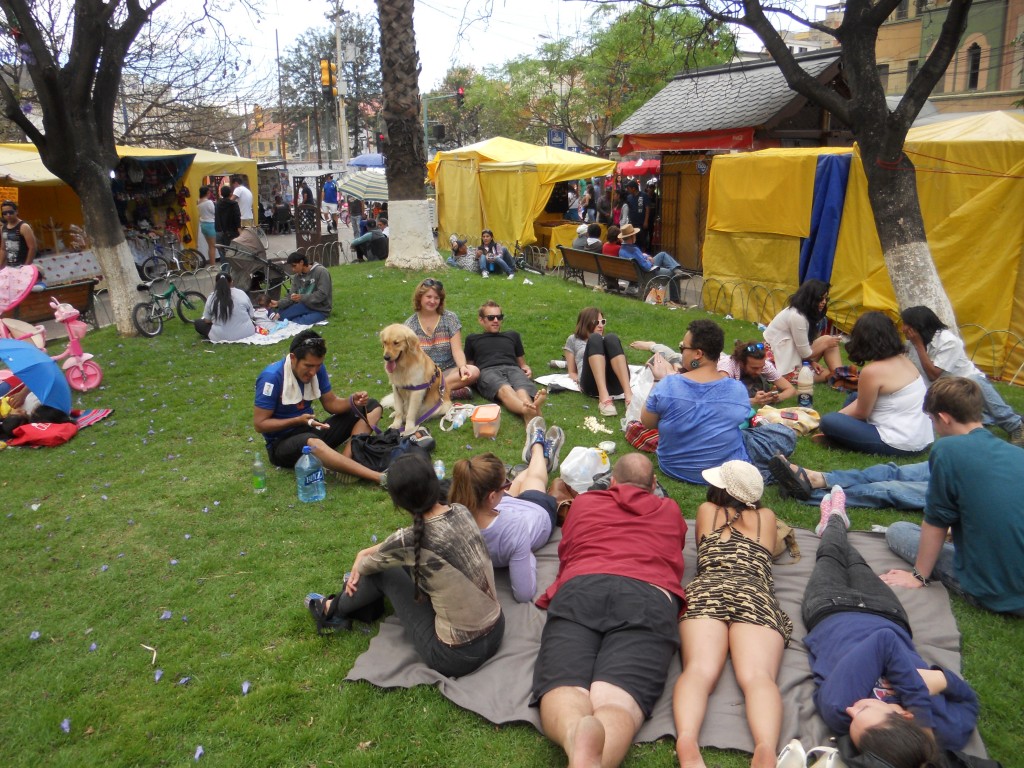
Today was the Day of the Pedestrian (Día del Peatón) here in Cochabamba.  Apparently 4 times a year the city declares a ban on driving to encourage the citizens to get outside and walk or bike around.  Sundays are usually pretty slow around here (and in every other South American city we’ve visited) with many businesses closed and not too many people out and about.  But not today!  There were so many people out enjoying the weather and traffic-less city.

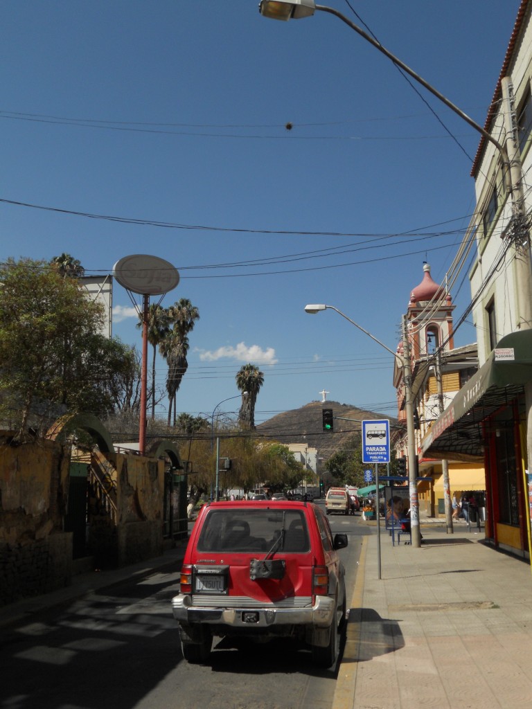
Empty Streets

Cristo and Empty Streets

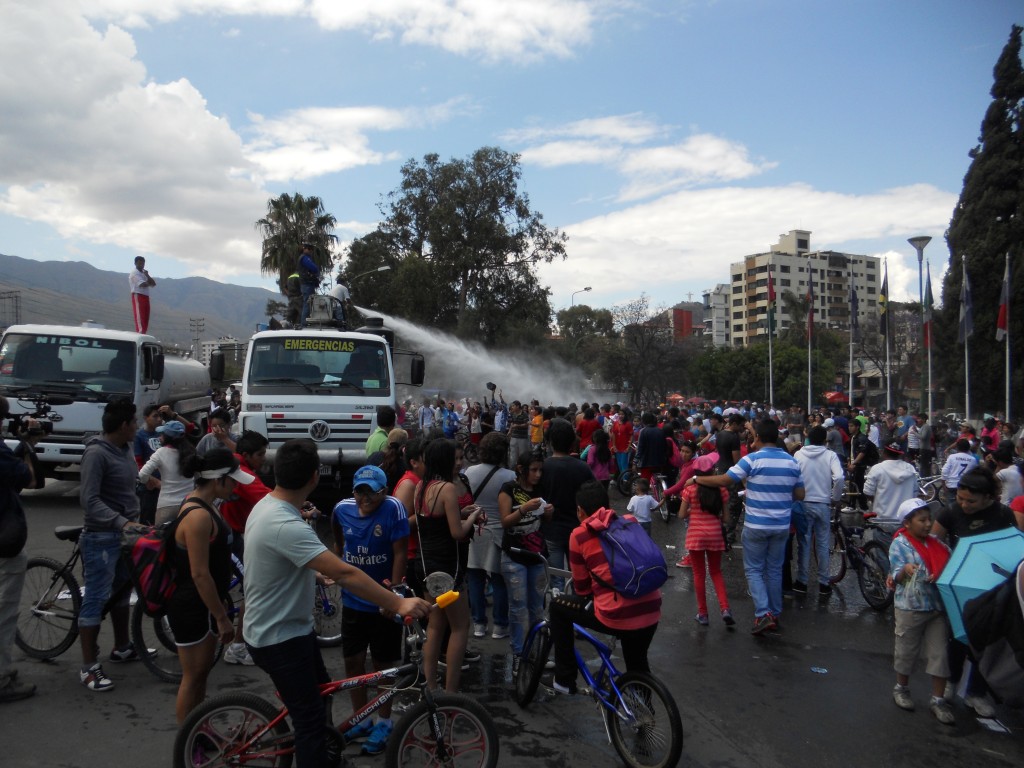
In the center of town there was a festival going on with lots of vendors and different activities. When the sun was out, it was pretty warm and there was a water truck on hand cooling down the crowd.

Around the Park

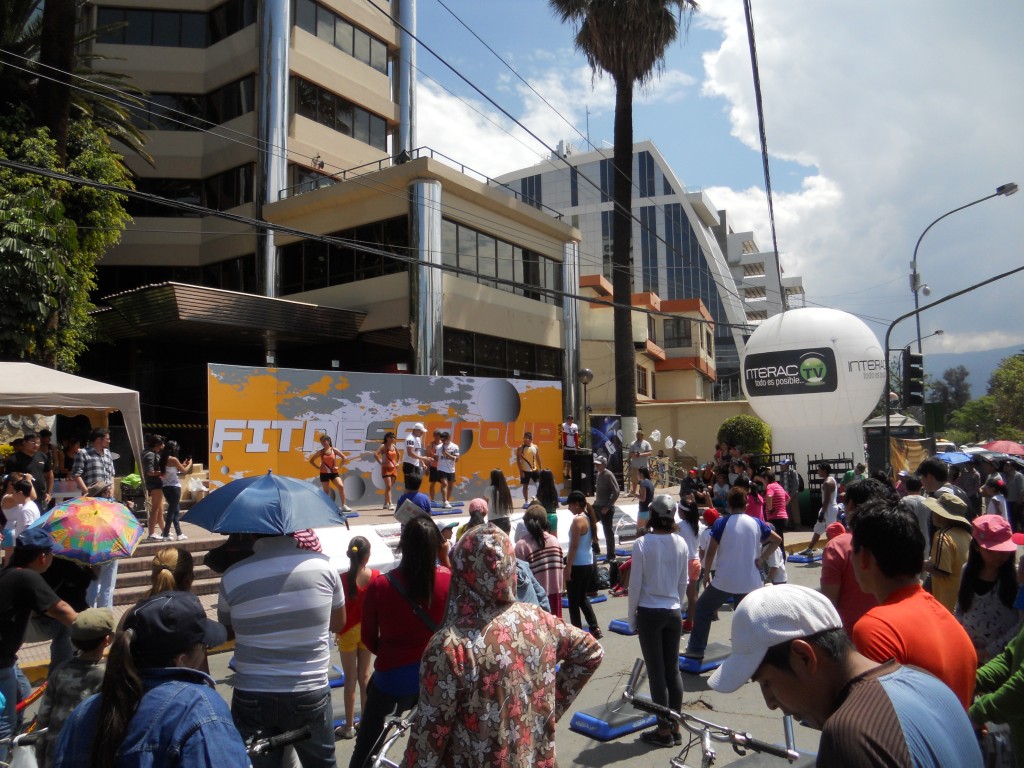
Exercise Activity

Relaxing in the Park

After walking around the festival for a while, we met up with a group of people from Sustainable Bolivia and relaxed and snacked in the shade.  If only every Sunday was like this one!

DSCN2680


What have we been doing {Cochabamba edition}

We have been in Cochabamba, Bolivia for 2 weeks now with 2 more to go.  Since I’m guessing most people have never heard of Cochabamba before (I hadn’t until 3 weeks before we got here!), here’s where it is:

cochabamba map copy

Cochabamba is the 4th largest city is Bolivia and the weather here is awesome.  The city is known for having an “Eternal Spring” , and since we have arrived, everyday has been sunny with highs in the low/mid 70’s.  We ended up in Cochabamba because we decided that we wanted to volunteer for a month somewhere and after a couple of days of searching, ended up finding an organization called Sustainable Bolivia.  Sustainable Bolivia organizes opportunities and housing for volunteers in Cochabamba and they work with 30-some different Bolivian nonprofits.

We are working with a non-profit called Fundación Bosques.  They have several different projects in the Cochabamba area – one that works with children who have to work to provide for their families and two projects that are trying to create sustainable sources of income for poorer rural communities in the mountains so that they can start providing more basic services (like water) to their citizens.  Brandon is redoing their website and I’m helping them build a budget for one of the projects.  I’m also helping out at another organization called DECOOPSO that helps run 6 cooperatives in the area that employ poor and marginalized people.  I’m working with a few other volunteers to get them up and running on an accounting system.

We’ve been really enjoying out time here so far.  We’re living in a house with 6 other volunteers (most also from the U.S.) and Sustainable Bolivia has a lot of organized activities – it’s almost like being in college again and living in the dorms!

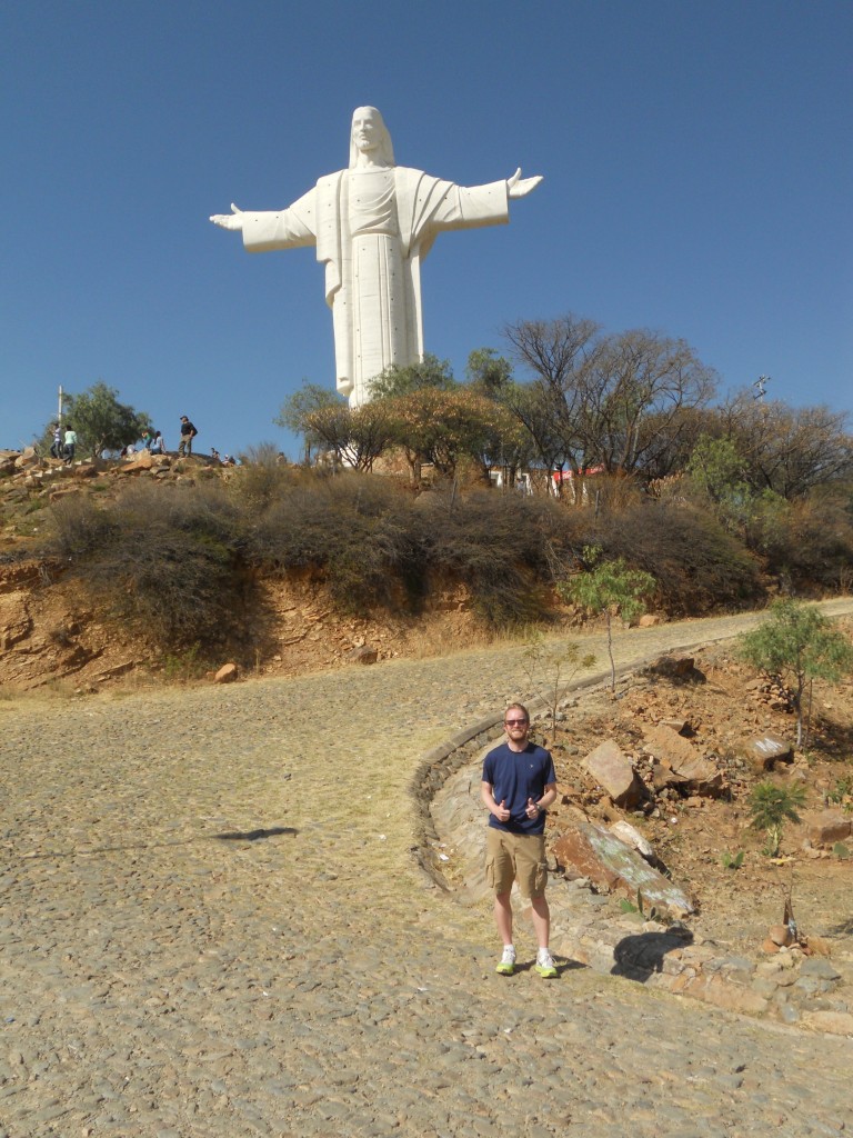
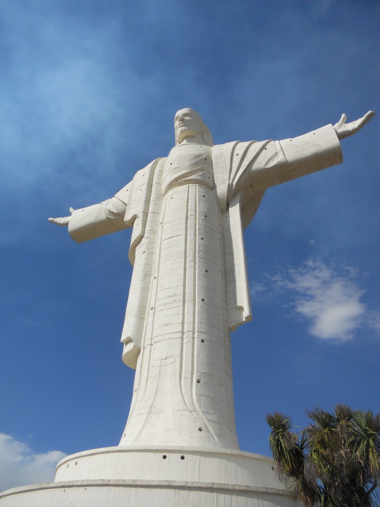
There’s a hill in town with the largest Jesus statue in the world (even larger than Christ the Redeemer in Rio de Janeiro) on it that Brandon and I hiked up the first weekend. Its name is ‘Cristo de la Concordia’.  In the background of this picture, you can see the hill with Cristo at the top.

Cristo in the distance

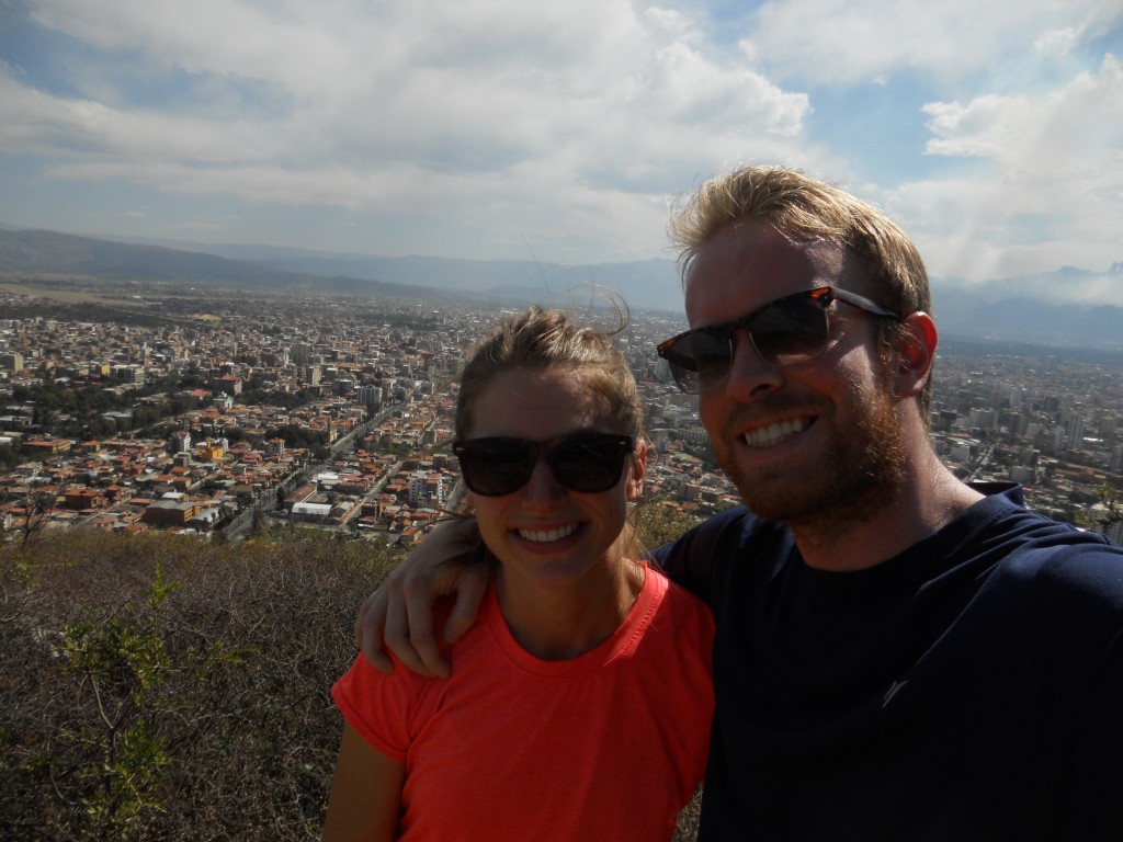
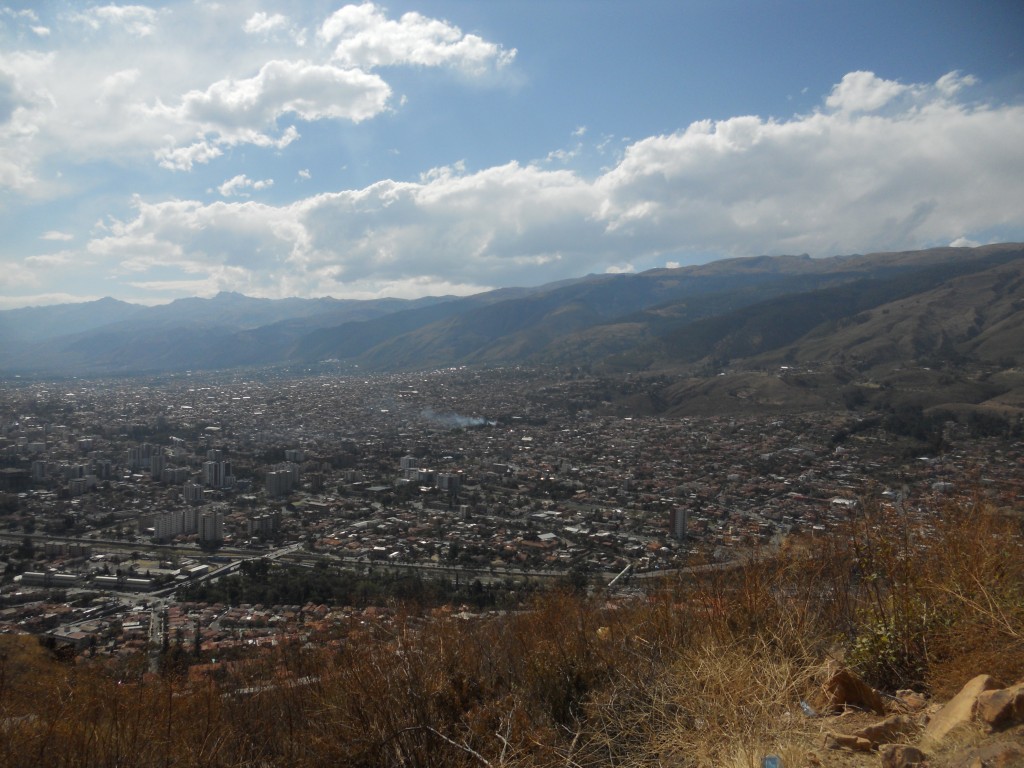
The hike up was actually harder than we thought it would be, but the views were great!

B&E above the city

Cochabamba View

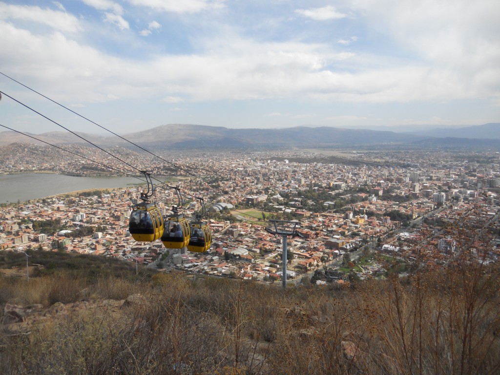
There were also some cable cars that you could take up and down, although we hiked it both ways.

Cable cars

Brandon and Cristo

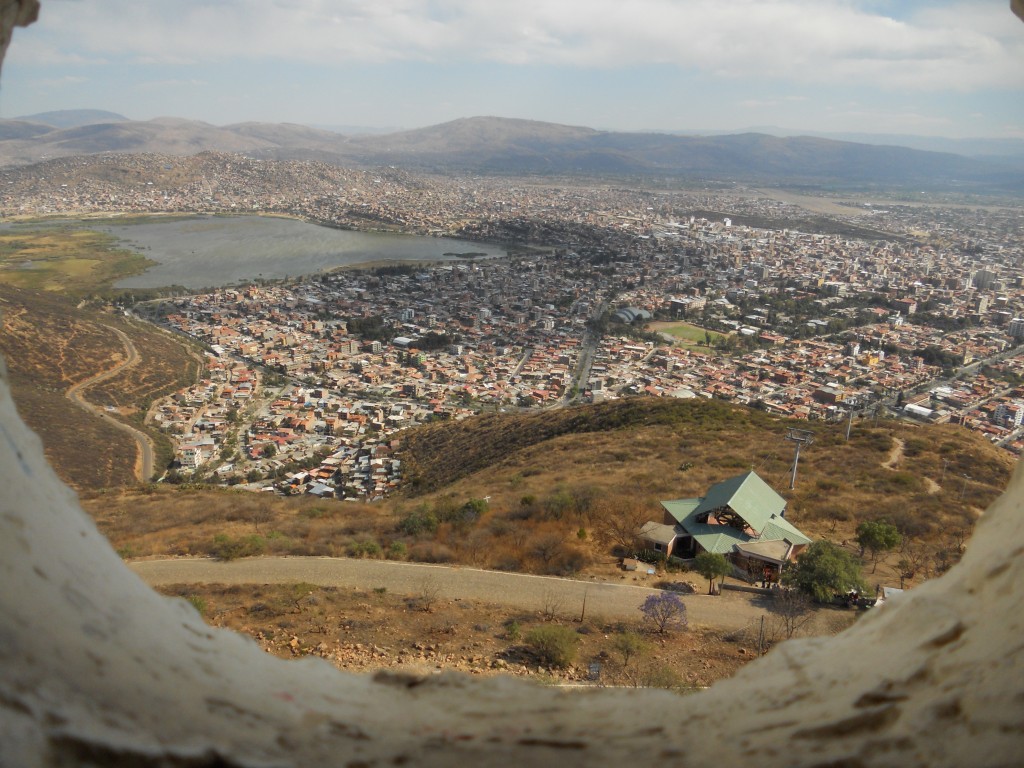
We actually got to climb up inside the Cristo statue for even higher views through the holes in the statue.  The mountains that surround the city are beautiful and it’s on our bucket list before we leave to go hiking and exploring up in the hills.

View from in Cristo

Cristo Up Close

Biking (and surviving) the World’s Most Dangerous Road

Quick aside for a status update: We are currently staying in Cochabamba, Bolivia for the month (already 2 weeks in) where we are volunteering with a couple of local NGO’s. We’ll write more about it soon.

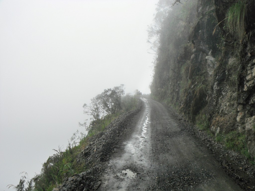
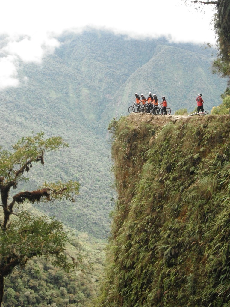
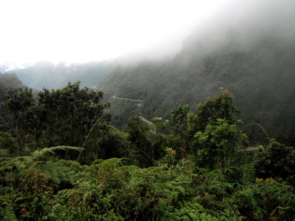
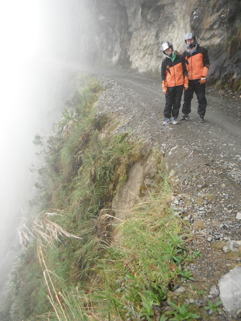
A couple weeks ago, while in La Paz, we took on the task of biking down the “World’s Most Dangerous Road” or “Death Road” as it is also commonly known. This road, with the official name being “North Yungas Road”, is one of the main attractions in the La Paz area. The road is made of mainly dirt/gravel and is approximately 65km long. It connects La Paz with the jungle community of Coroico. What makes the road so dangerous is that its width is essentially one car lane and that it lacks sufficient guard rails. Did I mention that right next to the road are cliffs that feature drops as much as 2000 feet?
DSCF9284-2

DSCF9273

DSCF9274-2

DSCF9294

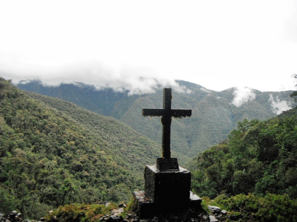
In its heyday, there were many accidents where cars would fall off the side of the road. It is estimated that 200 to 300 people died in accidents every year on the road.
DSCF9306-2

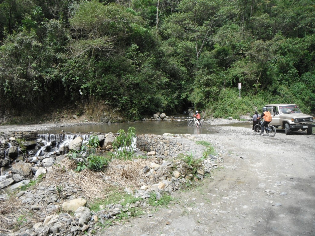
Thankfully, they ended up building a better paved road that connects La Paz to the jungle community in 2006, so cars don’t frequent the road as much anymore. Pretty much the only cars you will see are the support vans from the various bike companies that are leading tours down the road.

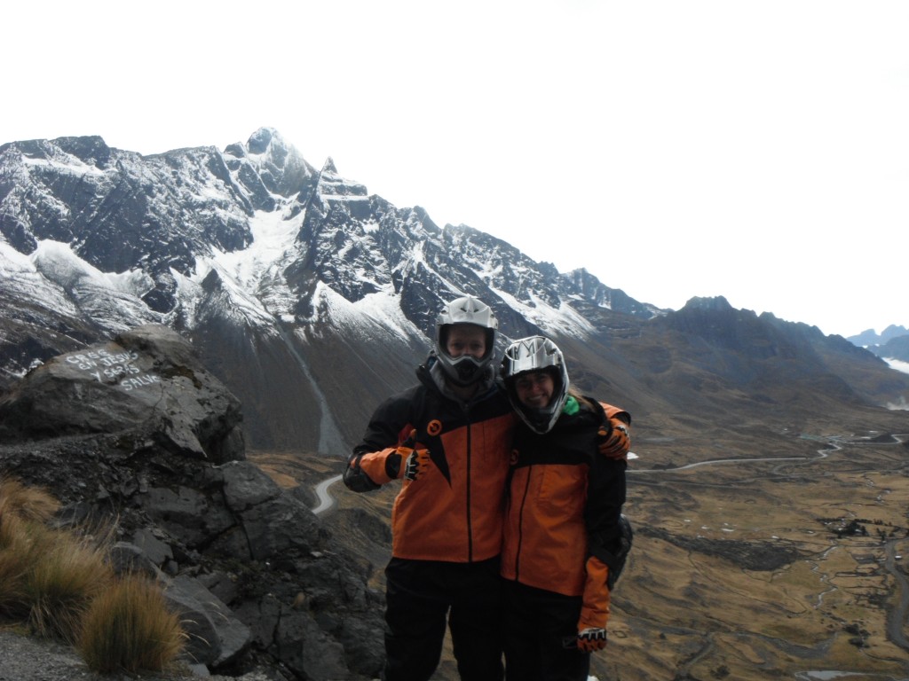
For our ride, we ended up going with Vertigo Biking Tours, who were quite excellent. They equipped us with helments, elbow pads, knee pads, gloves, heavy duty pants, and a jacket. The bikes had pretty good shocks, which was a godsend going down the dirt road. With all the equipment, it definitely eased any worries we may have had. The guide also brought along a camera so that we wouldn’t have to worry about taking photos while we were riding, which was a huge plus.
DSCF9242

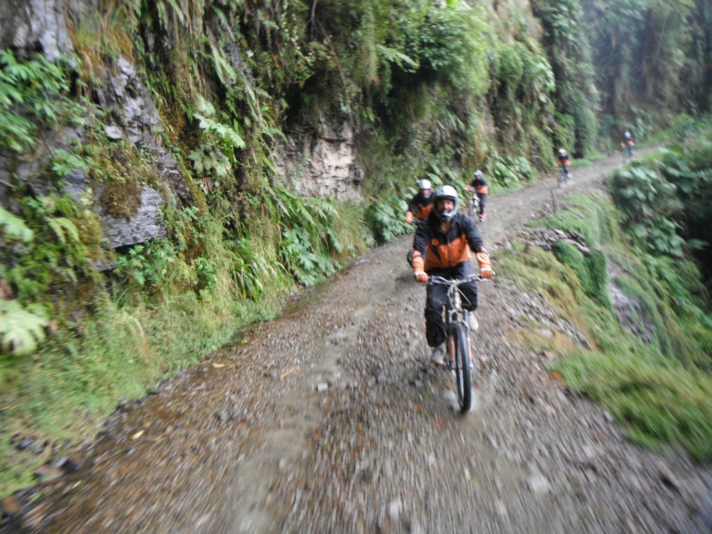
While I spent the beginning of this post talking up how dangerous the road was, it wasn’t actually that scary. Granted, there still is some danger involved (particularly with falling off the bike), and you do hear the occasional horror stories of tourists falling off the cliff, but from what we could tell, as long as you are not an idiot (aka taking selfies while you are riding close to the edge) and focus on the road, you were fine.
DSCF9305

All in all, the ride was awesome. It was the most fun I’ve had on a bike ride that I can remember. While we were mainly focused on keeping our bike on the road during the ride, it was hard not to marvel at the expansive views of lush mountains/cliffs out of the corner of our eyes. It started at 4650 meters above sea level where it was snowing. And it ended at 1200 meters above sea level in the rainforest. Most of the ride was downhill, so it wasn’t too intense physically. In total, we were probably riding for 3-4 hours, which included a 20km “warmup” on a paved highway before we started on the “World’s Most Dangerous Road”.
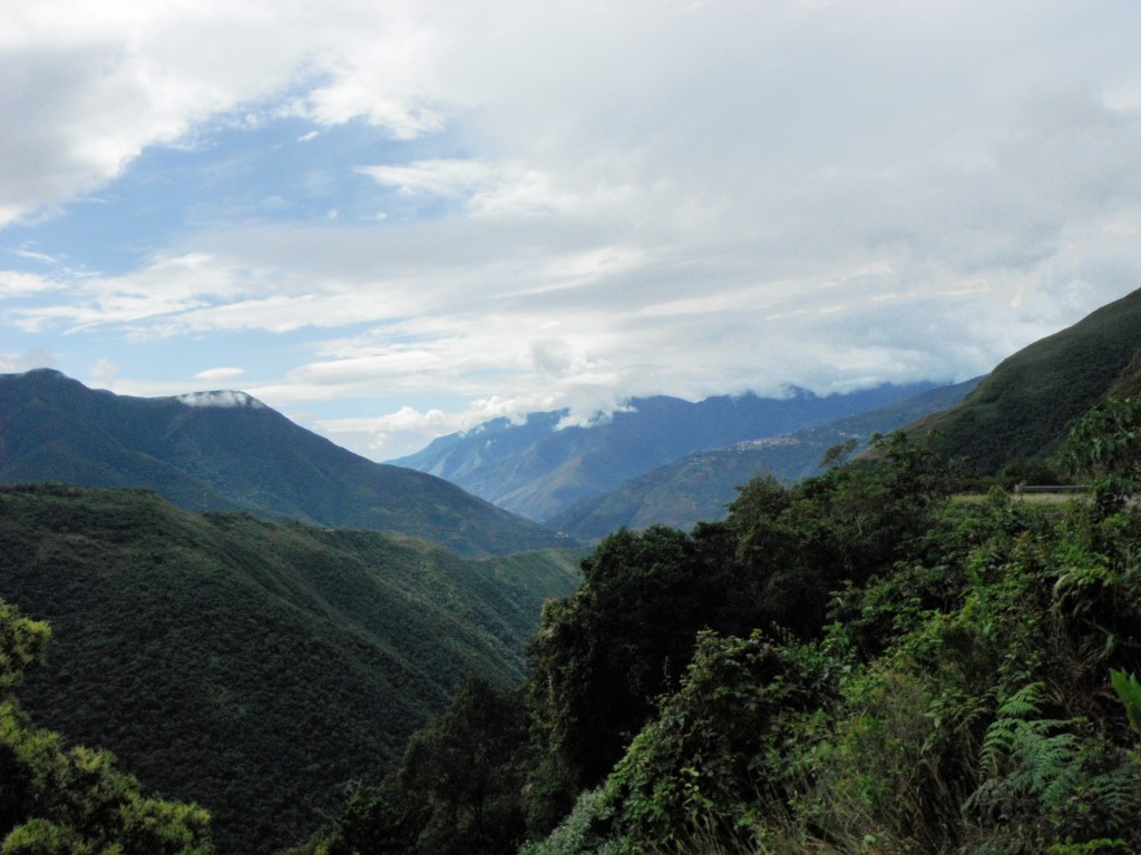
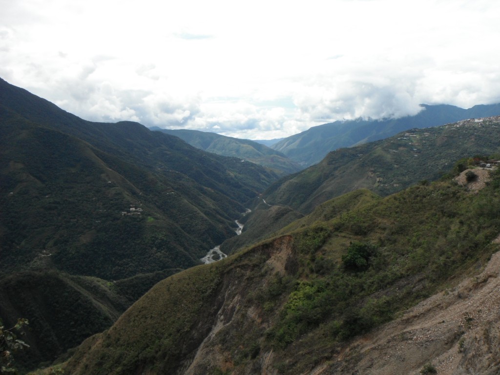
DSCF9317-2 DSCF9319

DSCF9325

La Paz

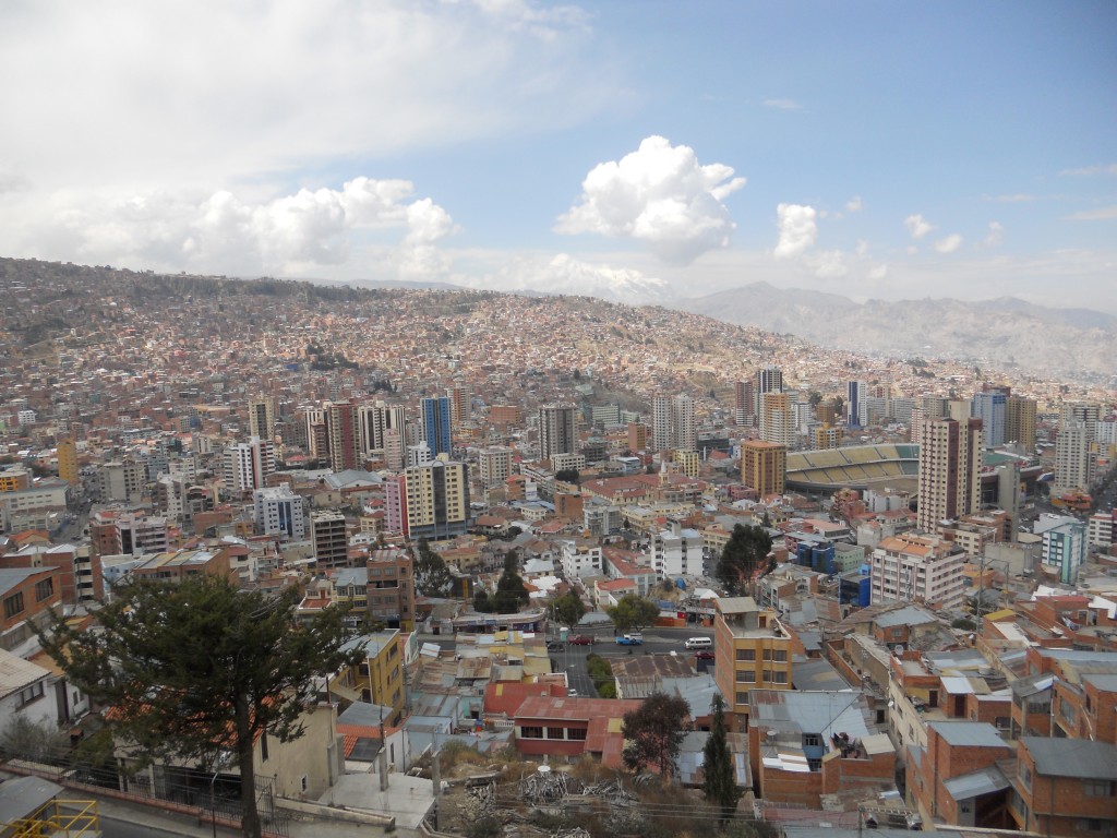
We ended up spending 5 days in La Paz, which is 5 more than we originally planned when we first started dreaming up this trip.  The city looks really interesting – almost a bowl nestled among mountains.  The altitude really varies – if you are in the bottom, it’s around 10,500 feet but the houses climbing up the sides could be almost 3,000 feet higher.La Paz
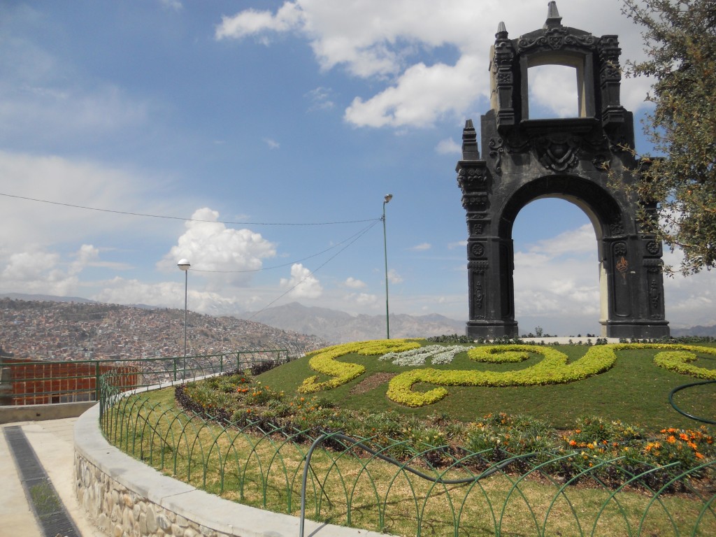
La Paz Arch

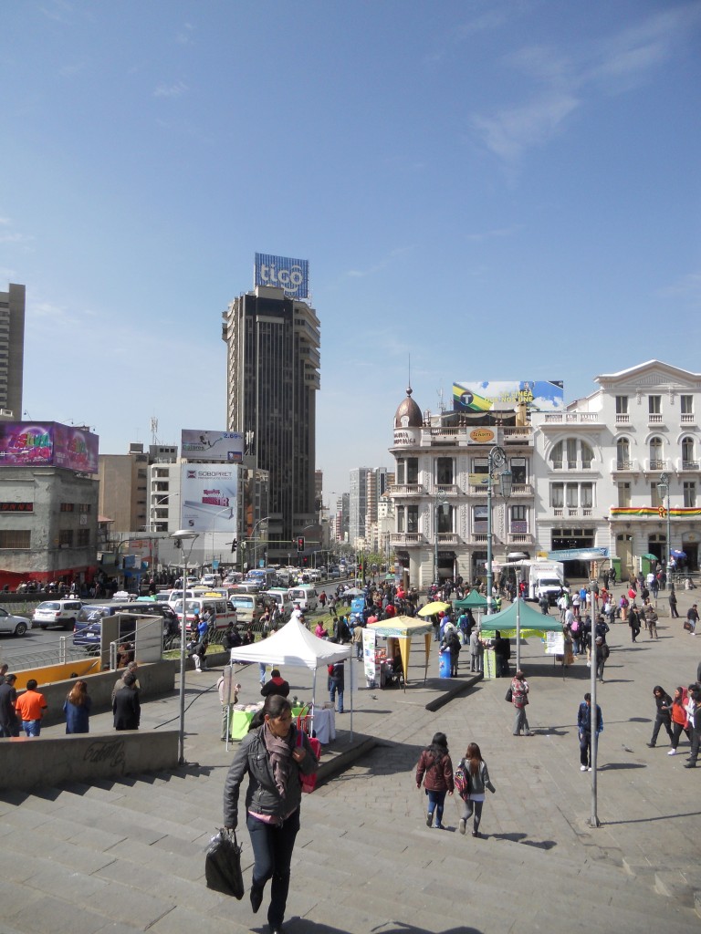
We spent a lot of time just wandering around La Paz. The city was a lot more densely populated with buildings and people than I had imagined it would be.

La Paz

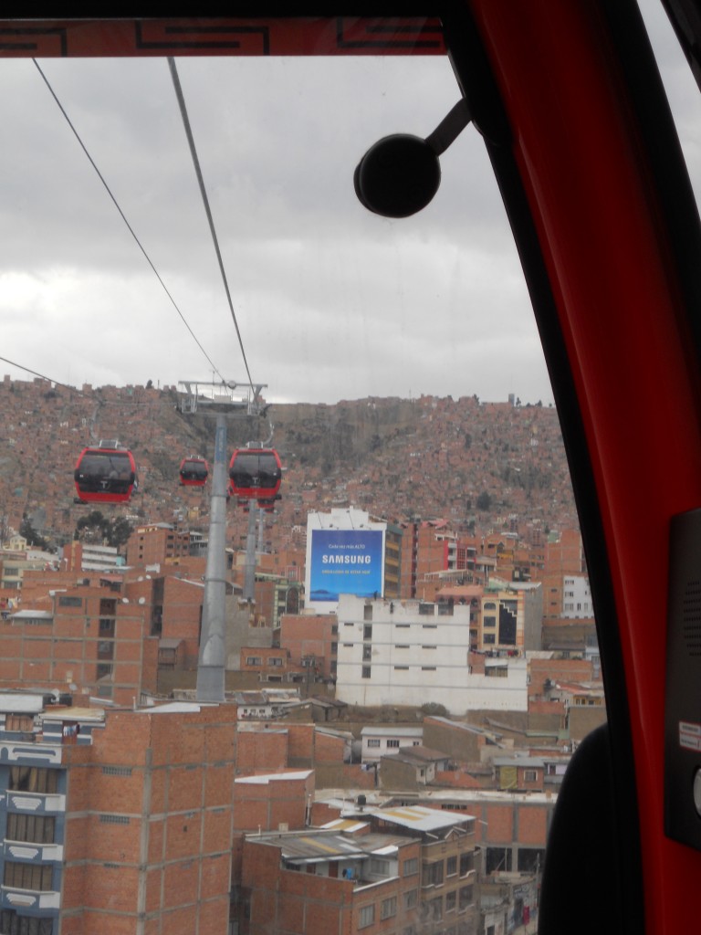
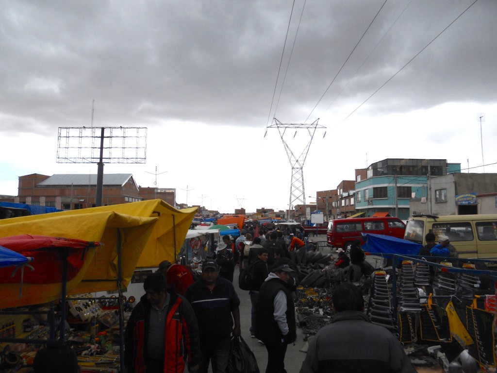
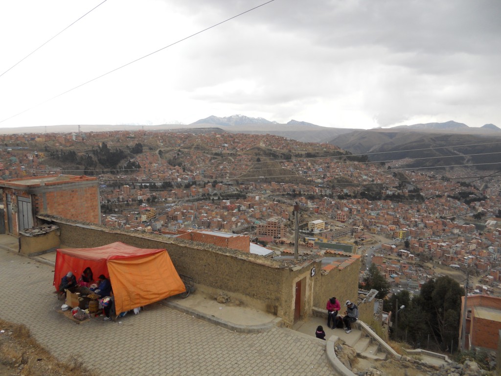
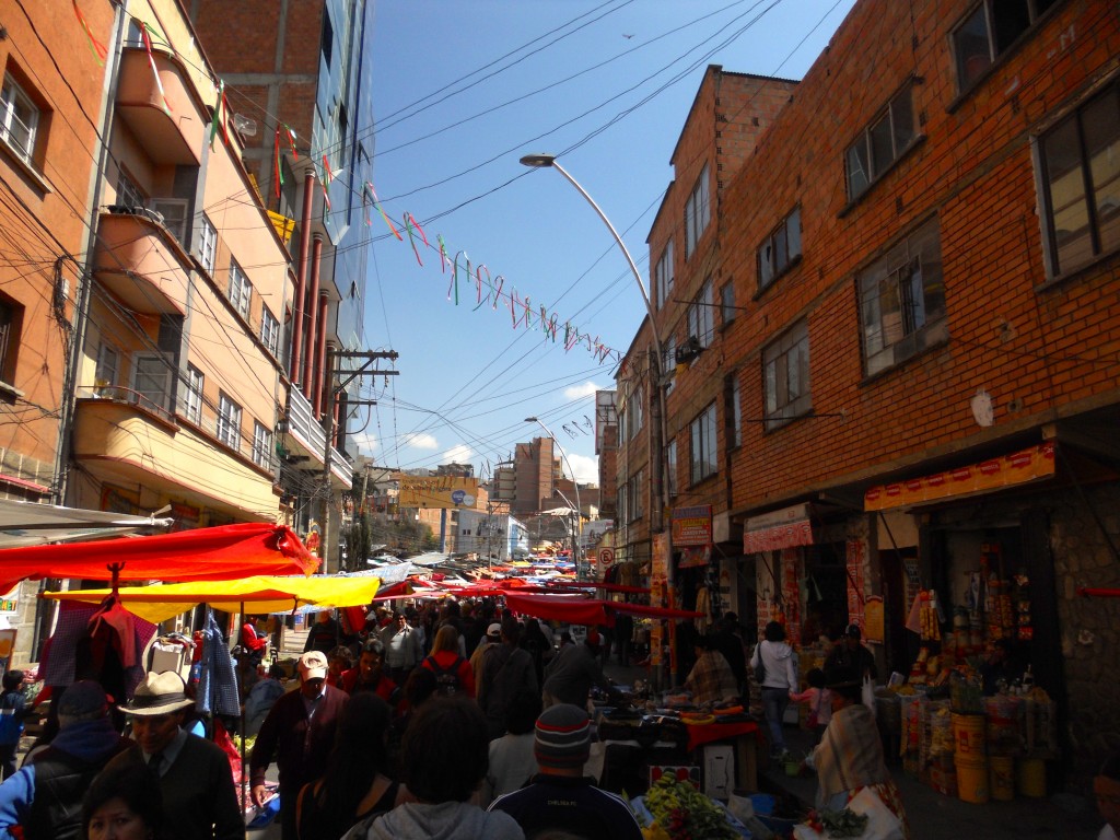
We took the teleferico up to El Alto (the city that is on the top of the bowl) to check out a huge flea market. The market is supposedly one of the largest in South America – we wandered around it for an hour and a half and never saw an end. It had a very random mix of items from tires to computers to clothing. The view of La Paz from El Alto was pretty cool.

Teleferico

El Alto Market

View from El Alto

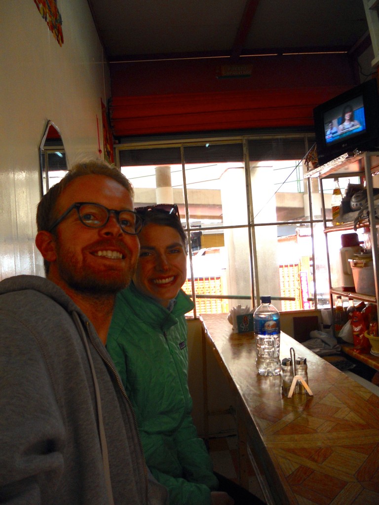
There was another market right by our hostel that we ate at several times. It was a huge concrete building filled with tiny stalls with vendors selling food, flowers, groceries, etc. The little restaurants were so small that you were a foot away from the cook/owner. The food was really cheap – almuerzos (soup + main course) for $1.30 and giant fruit salads for $1.15!

Market

Market Stall

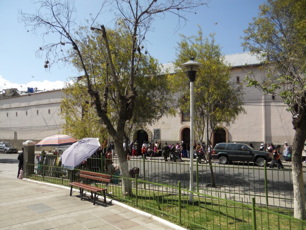
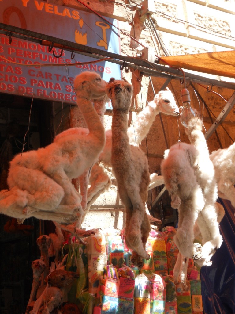
We did a city tour one day that started outside San Pedro Prison. Apparently there is going to be a big Hollywood movie based on a book about the prison called Marching Powder starting to film soon. We also went to another outdoor market (so many markets in La Paz!) and a “witches market” where you could buy llama fetuses.

San Pedro

Market

Witches Market

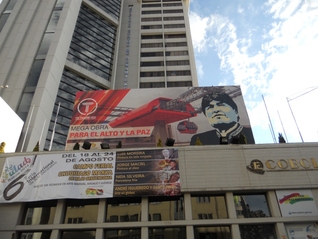
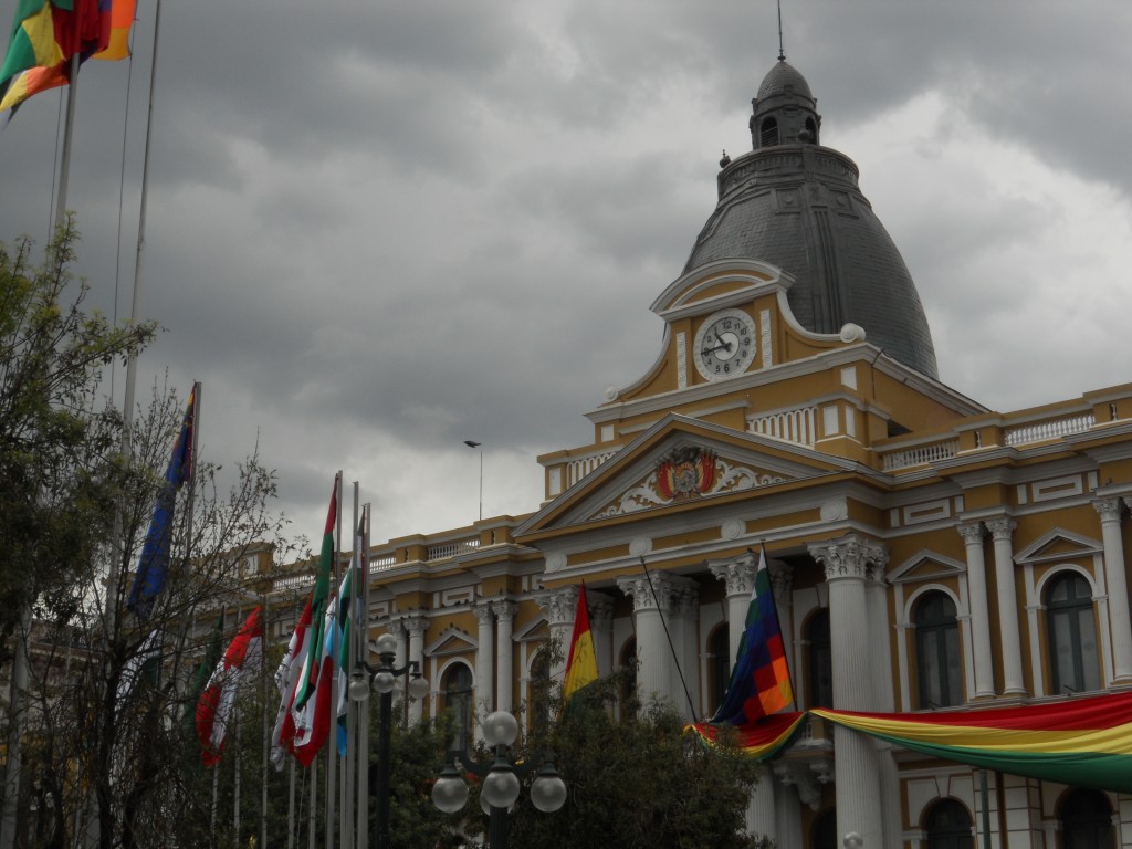
La Paz is the highest capital in the world so we saw some government buildings (with backwards clocks) and I can now recognize the president of Bolivia – his face is everywhere!

Gov Building

Evo

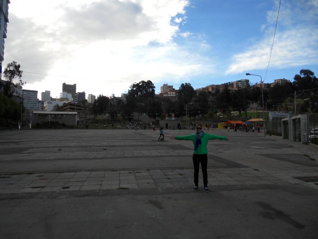
The last day we were there, we saw what looked like a huge park on the map in the middle of the city. So we walked over only to find a huge park – but it was mostly cement!

Cement Park


Crossing into Bolivia

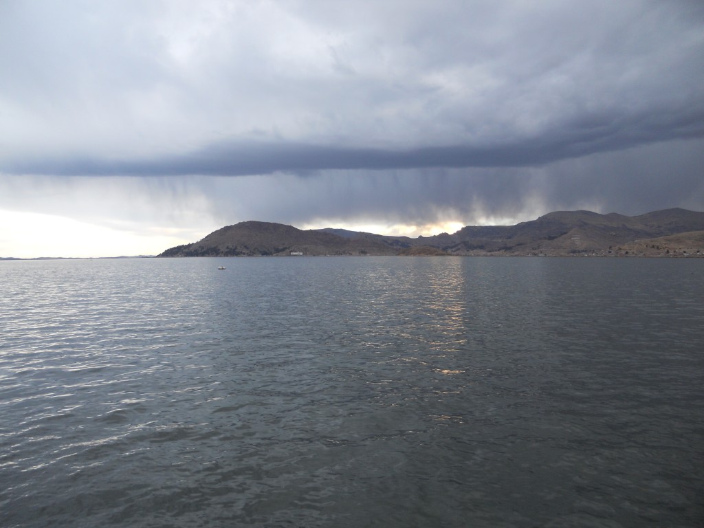
From Arequipa, we bused to our favorite town in Peru (I’m being facetious) – Puno.  We arrived just in time to watch a storm roll in over Lake Titicaca.

Stormy

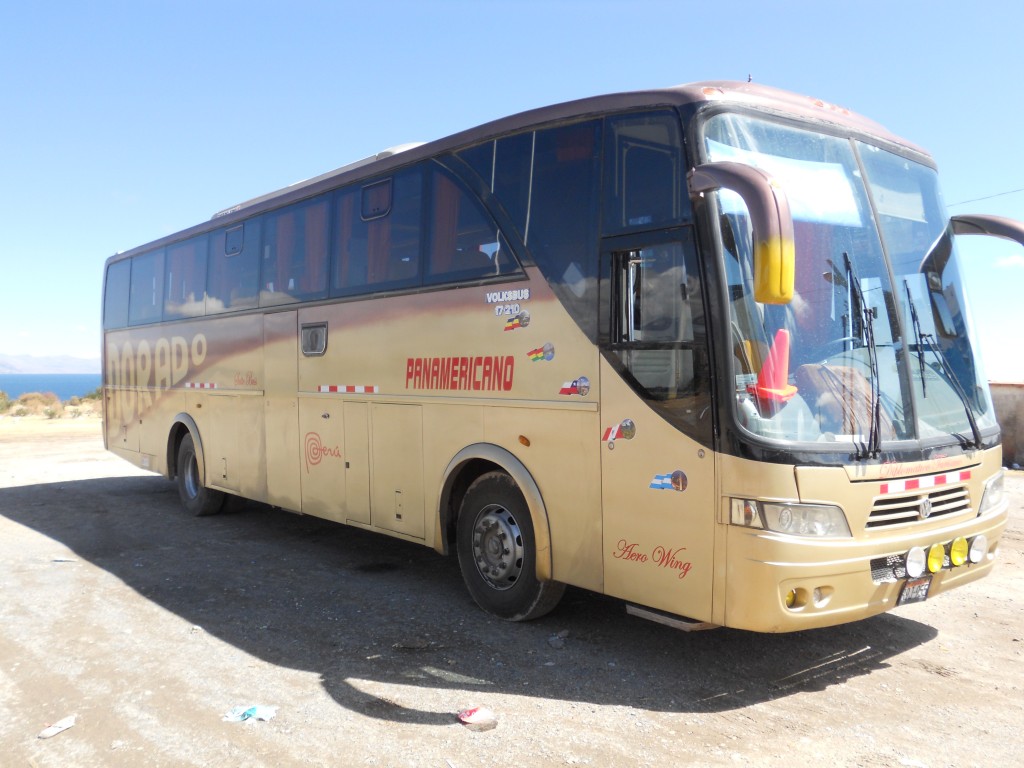
The next day we got up bright and early to start our journey across the border.  Our bus trips between Mancora and Lima and then Lima and Arequipa were expensive ($45-55) so we were pumped that the bus to La Paz was only $12!  Here’s our bus that pulled out of Puno at 7:30am.  It was actually really nice!

The bus

The border crossing we did a few weeks ago from Ecuador to Peru was very simple. The bus stopped at the border and there was one building that had officers from both countries. So we got into the Ecuador line to get our passports stamped out and then went to the Peru line to be stamped in. Very simple and it took 10 minutes, including filling out the entry paperwork.

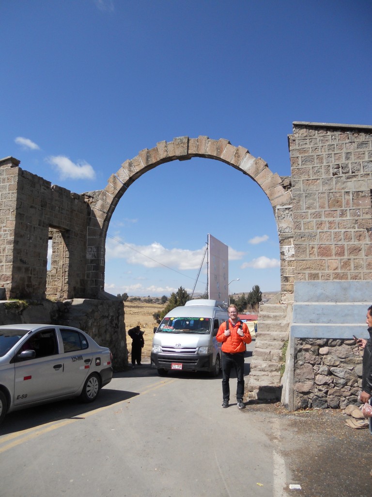
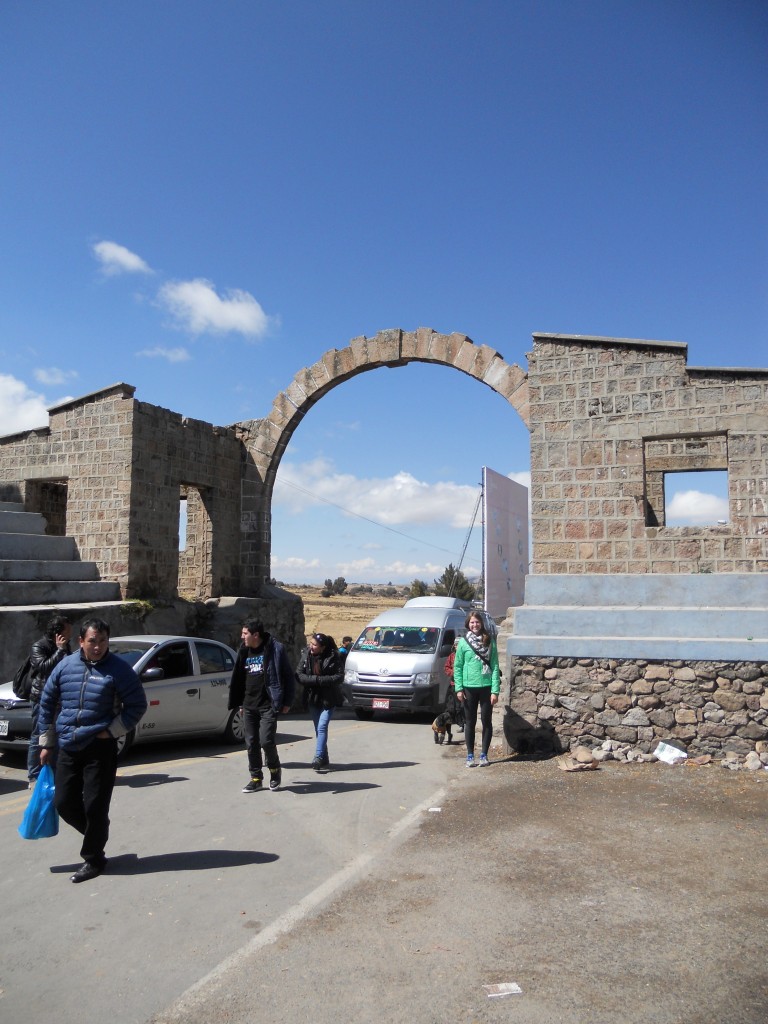
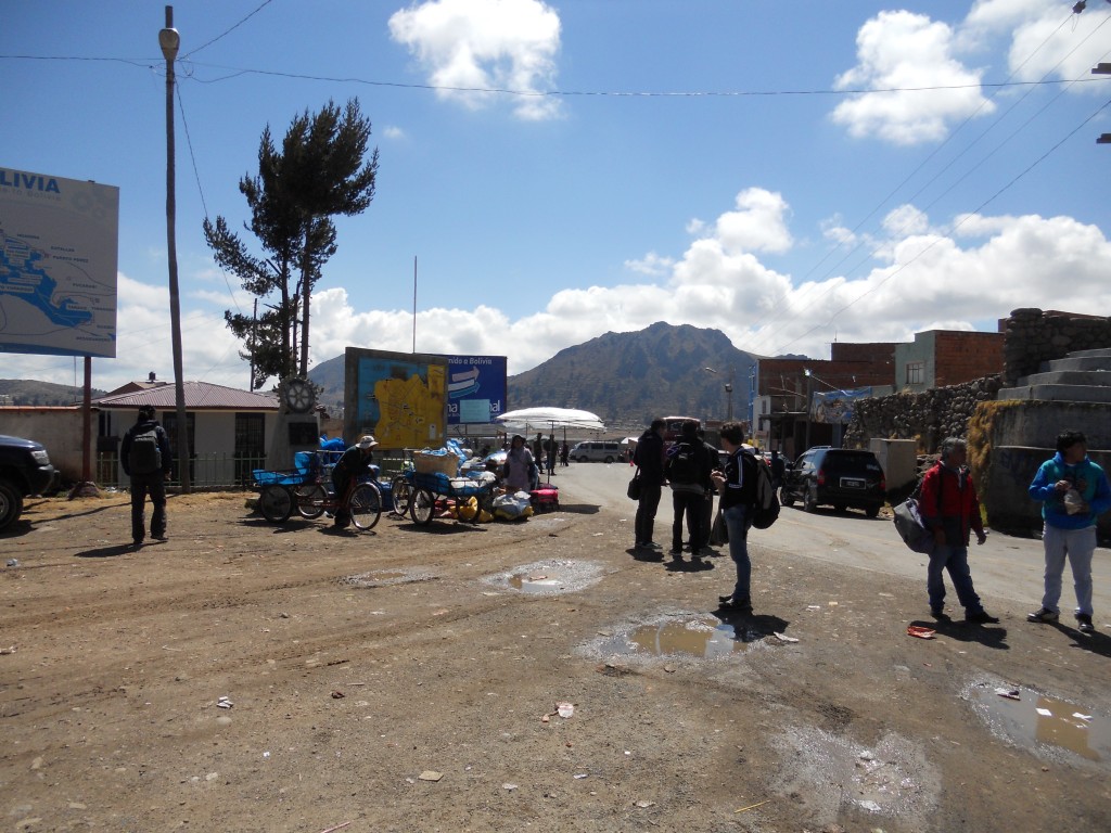
The crossing into Bolivia was a lot more fun!  The bus stopped just before the border and everyone had to get out.  There were money changing stations to trade soles for bolivianos and then two offices to visit – the police and then immigration.  Once we were stamped out, we had to walk across the border into Bolivia.  Here we are!

Brandon Crossing the Border Erin Crossing the Border

Then it was on to Bolivian immigration.  Since we are Americans, we had the pleasure of skipping the long lines for travelers entering from other North/South American countries and got our own private line – the kind of private line where you have to pay an additional $135 visa fee.  We, along with one other couple, were the only ones from the U.S. crossing, so we were in and out pretty quickly.  So then we had to wait around for the rest of the bus to get their stamps.  At least it was a nice day!

Bolivian Side

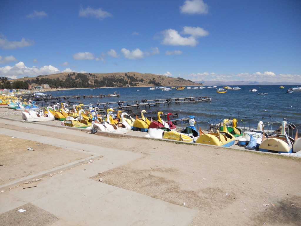
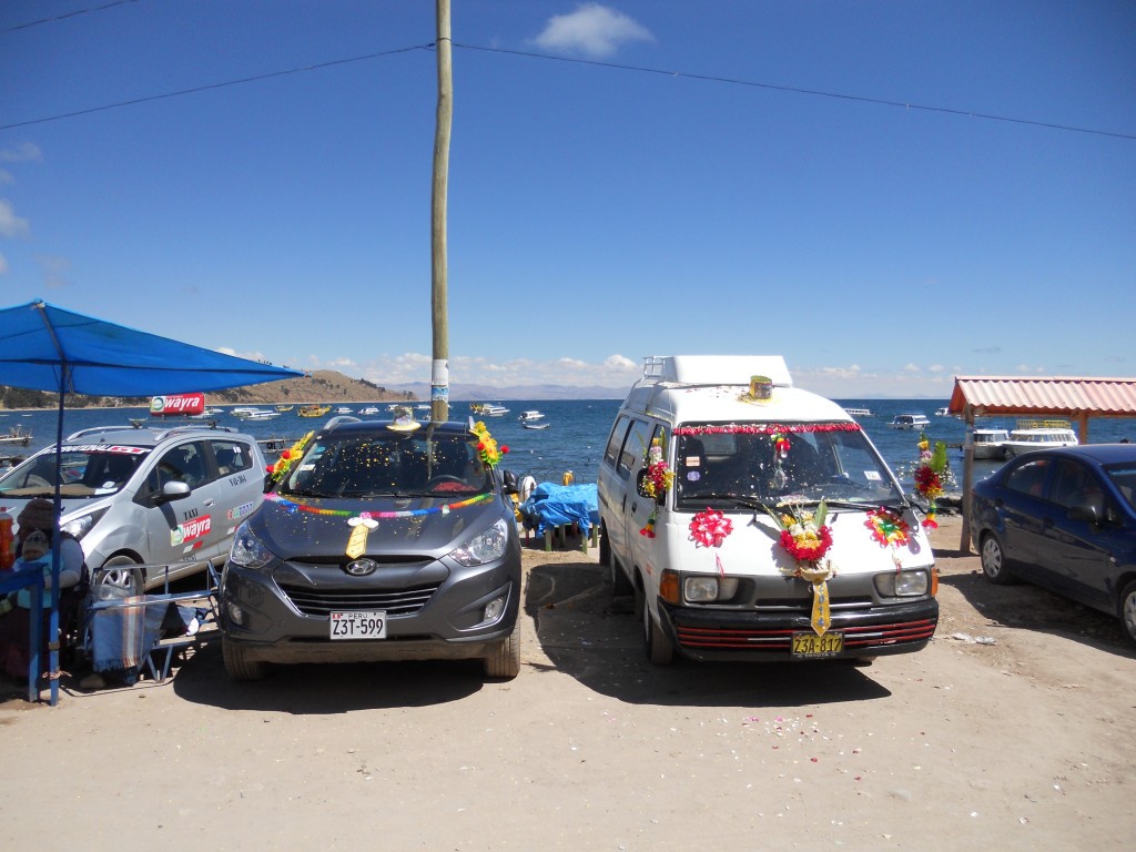
Once we were back on the bus, we headed to the town of Copacabana, a few minutes down the road.  Copacabana is right on Lake Titicaca, and from everyone we’ve talked to, the better place to visit the Lake than from Puno on the Peruvian side.  The town was pretty cute and for some reason, a lot of the cars were decorated with hats.

Cochabamba

Hats on cars

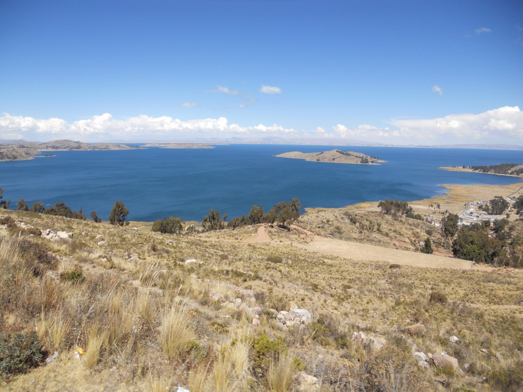
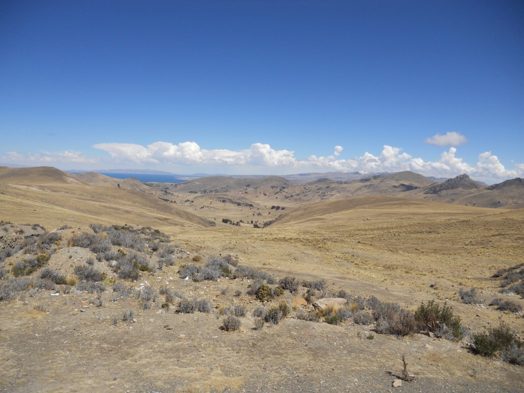
We had a hour to kill in Copacabana before switching to a different bus to complete the trip to La Paz.  There were some beautiful views of the lake as we drove.

Lake Titicaca View from the bus

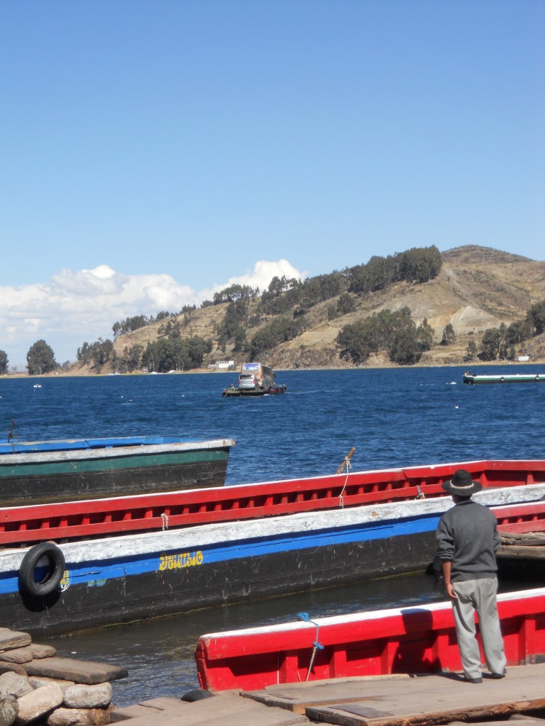
About an hour outside of Copacabana, the bus stopped and we had to do a “ferry” crossing to get across the lake at a very narrow point.  All the passengers crowded onto a few boats and then waited on the other side as the bus (with all of our stuff) was driven onto a barge/raft thing and floated across.  Our gold bus is floating across in this picture with a grey van.

Bus on the ferry

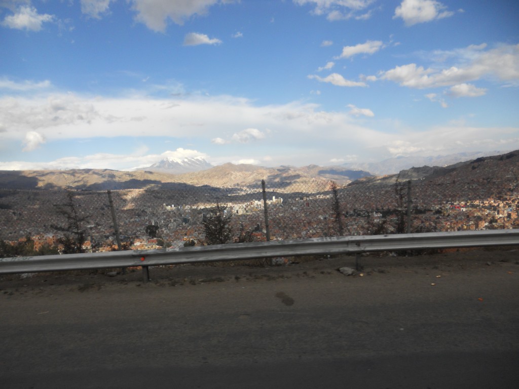
After that, the rest of the ride was fairly uneventful.  Here’s a picture of our first glimpse of La Paz as we finally got in around 5pm!

FIrst La Paz Sighting