Latest Posts

Goodbye Cochabamba!

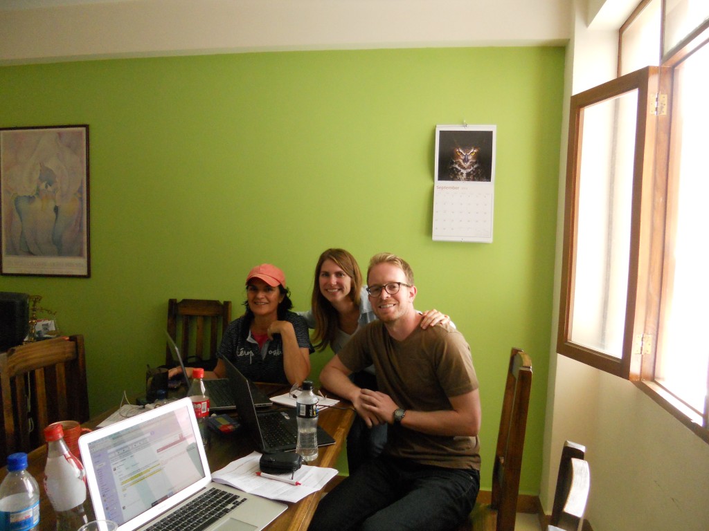
Wow – we only left Cochabamba a little over a week ago, but it already feels longer than that!  We really enjoyed our month in Cochabamba – it was a bit hard to leave what felt a bit like “home”. We got into a really nice routine over the month that we were there and really enjoyed the organizations that we volunteered with.  Here we are at the office with the Fundacion Bosques Director, Bonnie.

Picture with Bonnie

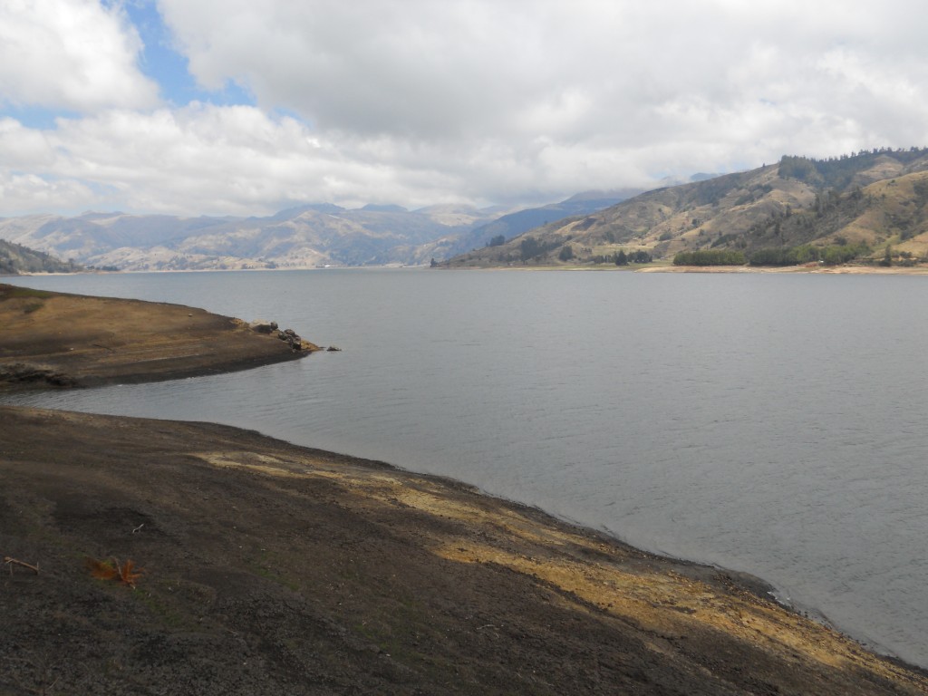
Bonnie even took us on a field trip out into the mountains to an area they work in – and it was beautiful!

Field Trip

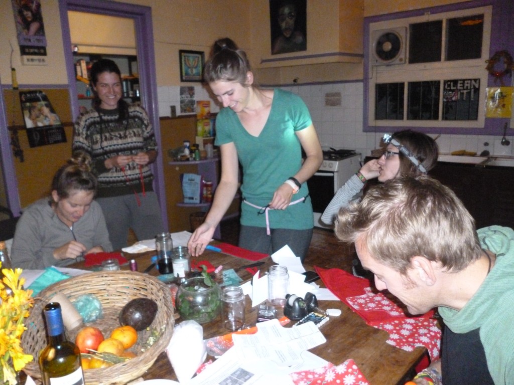
I got to brush up on my sewing skills to help out one of our housemates with a Feminine Hygiene project she was doing for her organization – she held a pad making party and I got to try my hand at making a belted pad!

Pad Construction

We’ll definitely miss the social aspect too – we met so many cool people and it was fun living with 6 other housemates – well, 7 if you count Bruno the dog.

Bruno

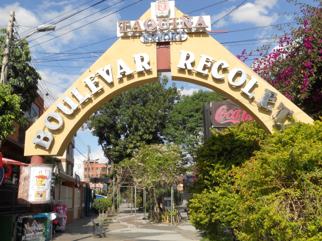
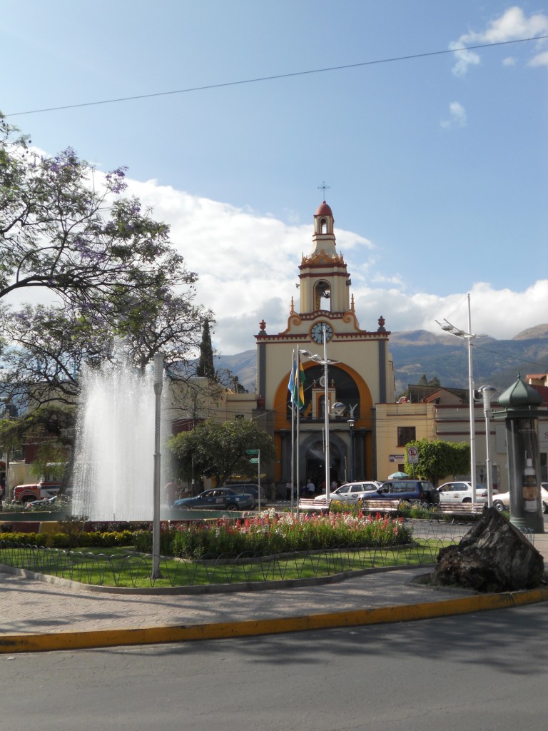
We’ll also miss walking around the city. I can’t even count the times that we walked 30 minutes north of our house to the Recoleta neighborhood to poke around or to enjoy the more diverse food offerings.

Recoleta Strip

Recoleta

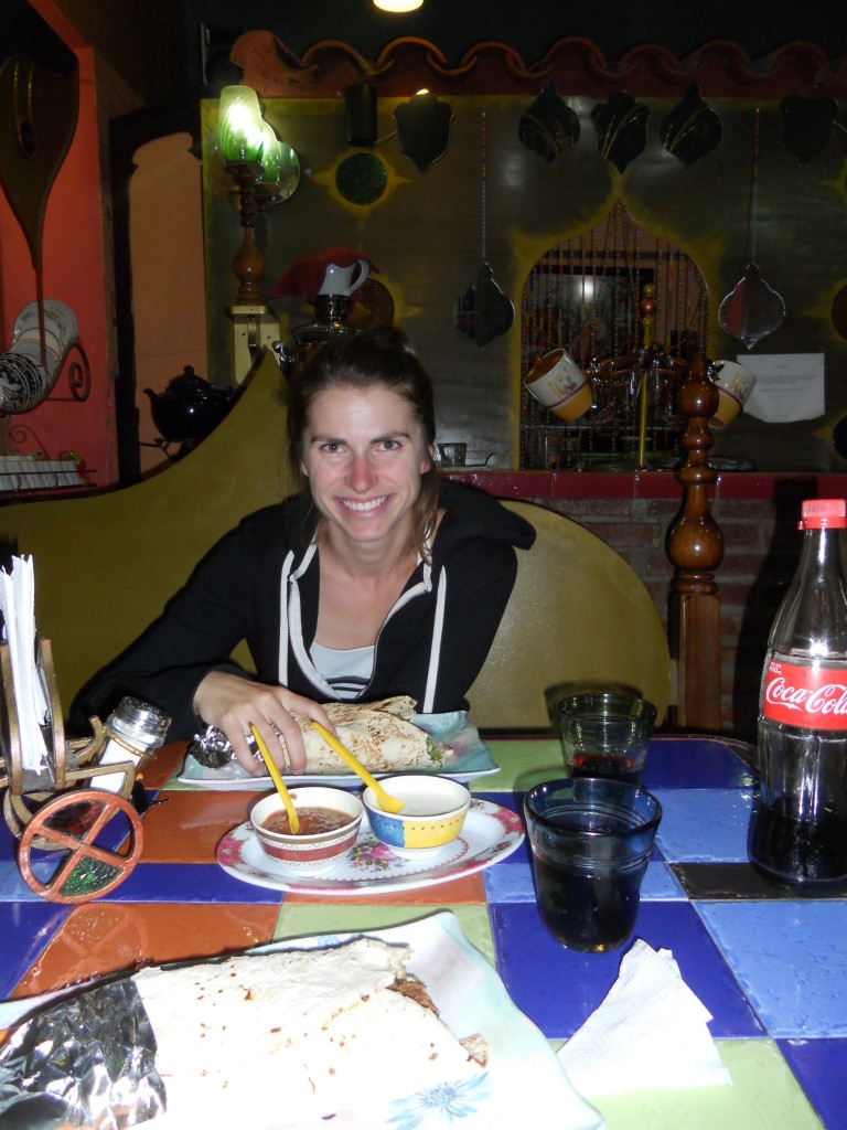
Kebab Dinner


Cochabamba Food

Sorry about the recent slow down on posting – since we settled in Cochabamba, we haven’t been as great about taking our camera out with us since we’ve been on “living here” mode vs “tourist” mode.  We head out of Cochabamba on Tuesday and are planning on being tourists for the next few days before we leave, so we will definitely have some more pictures of this city we’ve been living in coming soon.  Also – make sure to check out our updated itinerary page for where we are headed next!

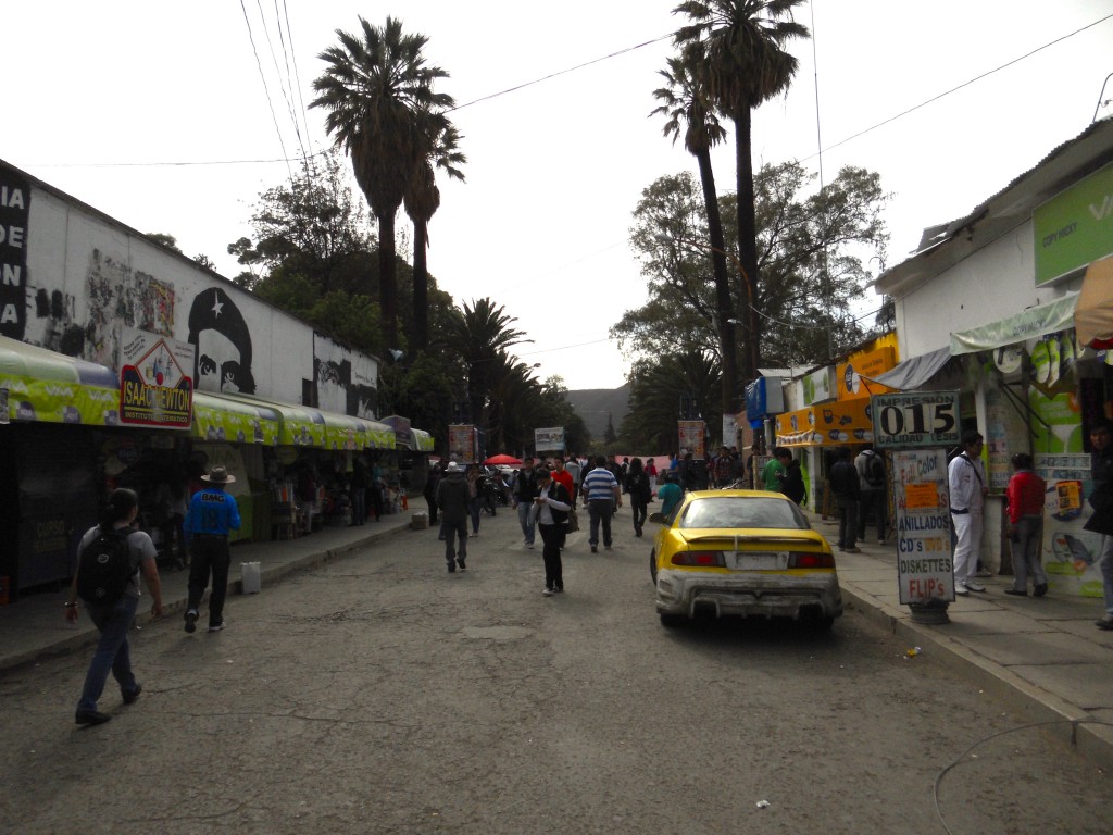
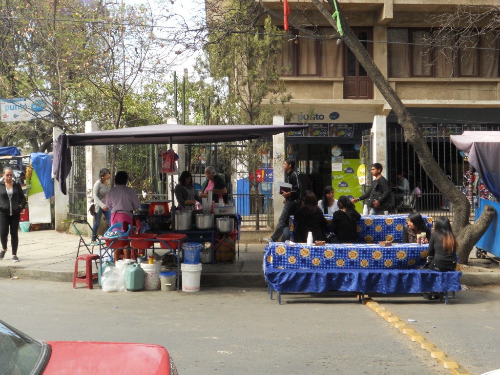
We have been living in a house right across from a university here and one of the great things about living so close to all these students, is really cheap eats.  Food here is really inexpensive anyway (Brandon has been eating fried chicken, rice and french fries for lunch 4 times a week because it only costs $1.15!) but even more so from all the street stalls and carts that ring the university.

Street by University

Food Stalls

Here are some of the popular street foods that we’ve been eating and about what they cost in U.S. dollars.

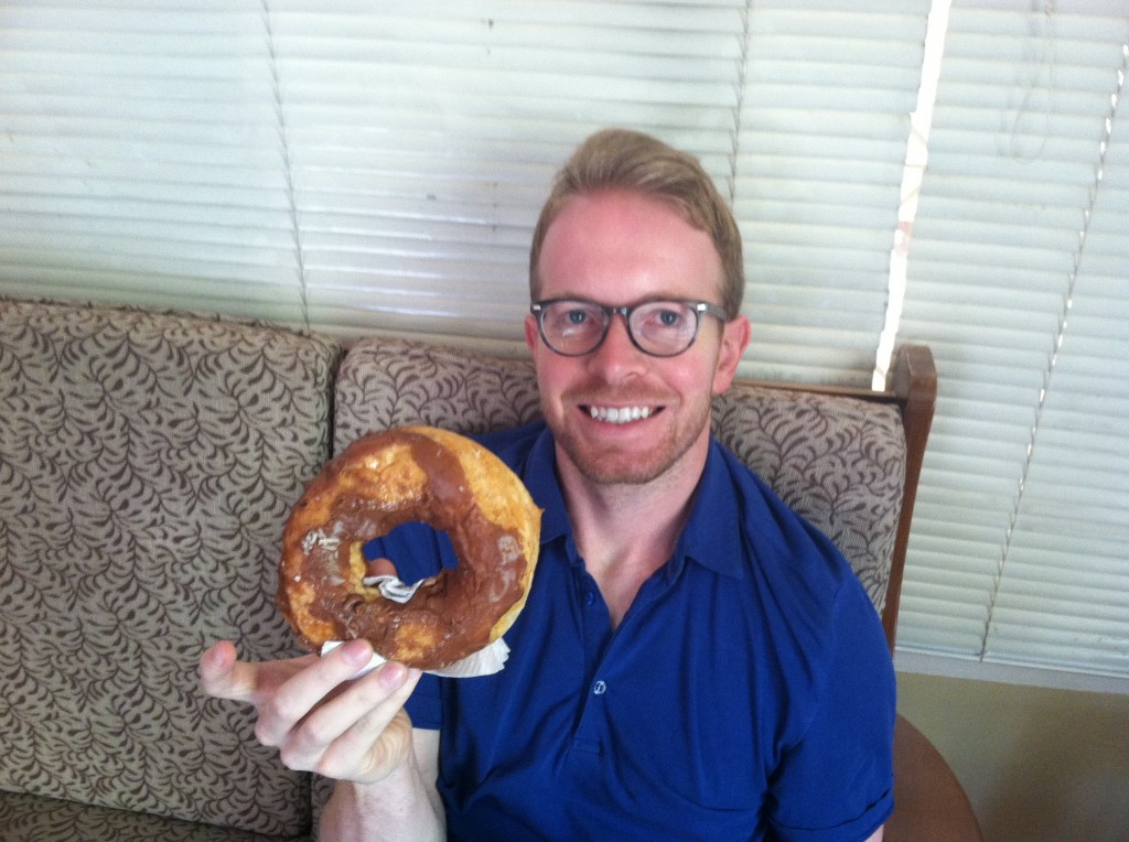
$.30 Giant Doughnuts

Brandon and Doughnut

IMG_0720

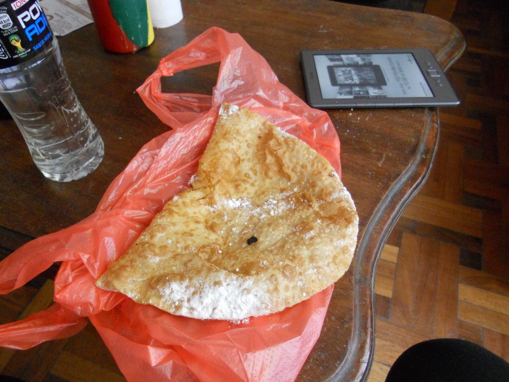
$.50 Pastel (giant fried pastry with a little cheese in it, sprinkled with powdered sugar).  There’s a lady on our corner who sets up a little restaurant on the street every morning and only sells pastels and juices.

Pastel Stand

Pastel

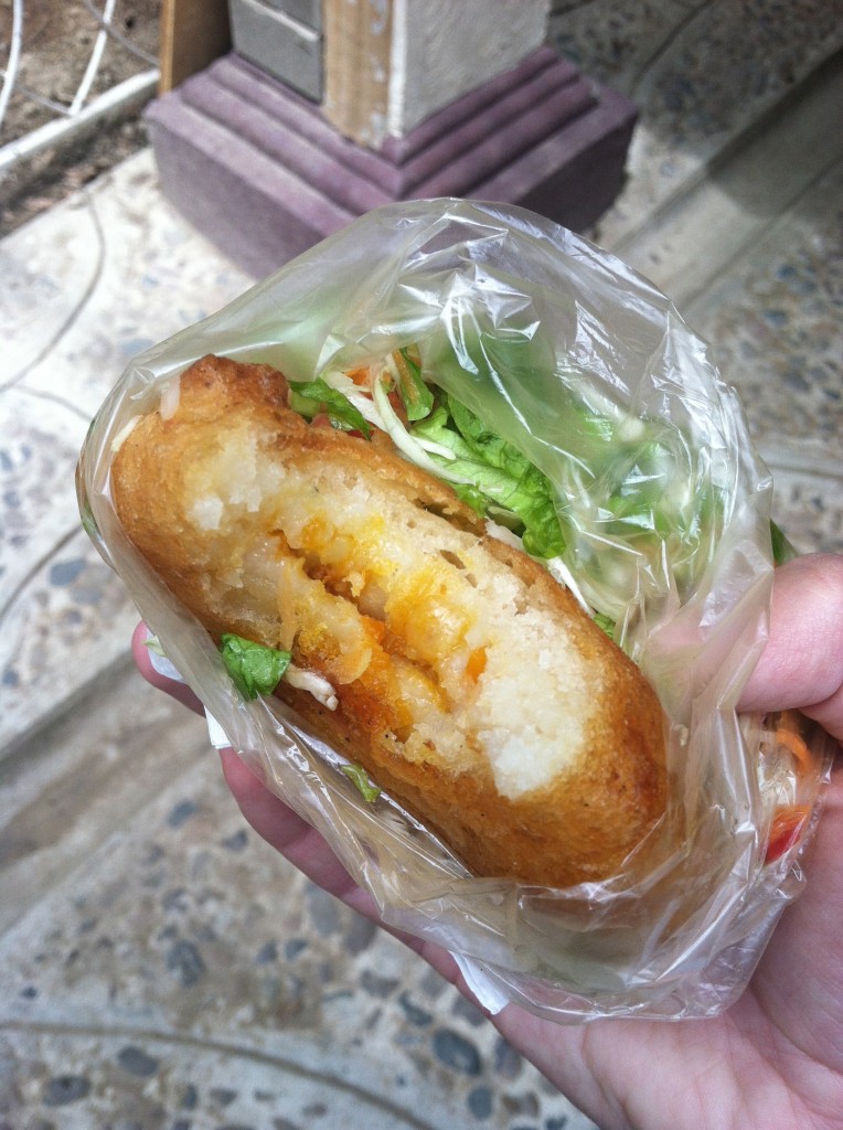
$.50 Papa Rellena (potatoes stuffed with meat, cheese, veggies and fried – many times served with salad so I can pretend it’s healthy)

Erin with Papa Rellena

IMG_0735

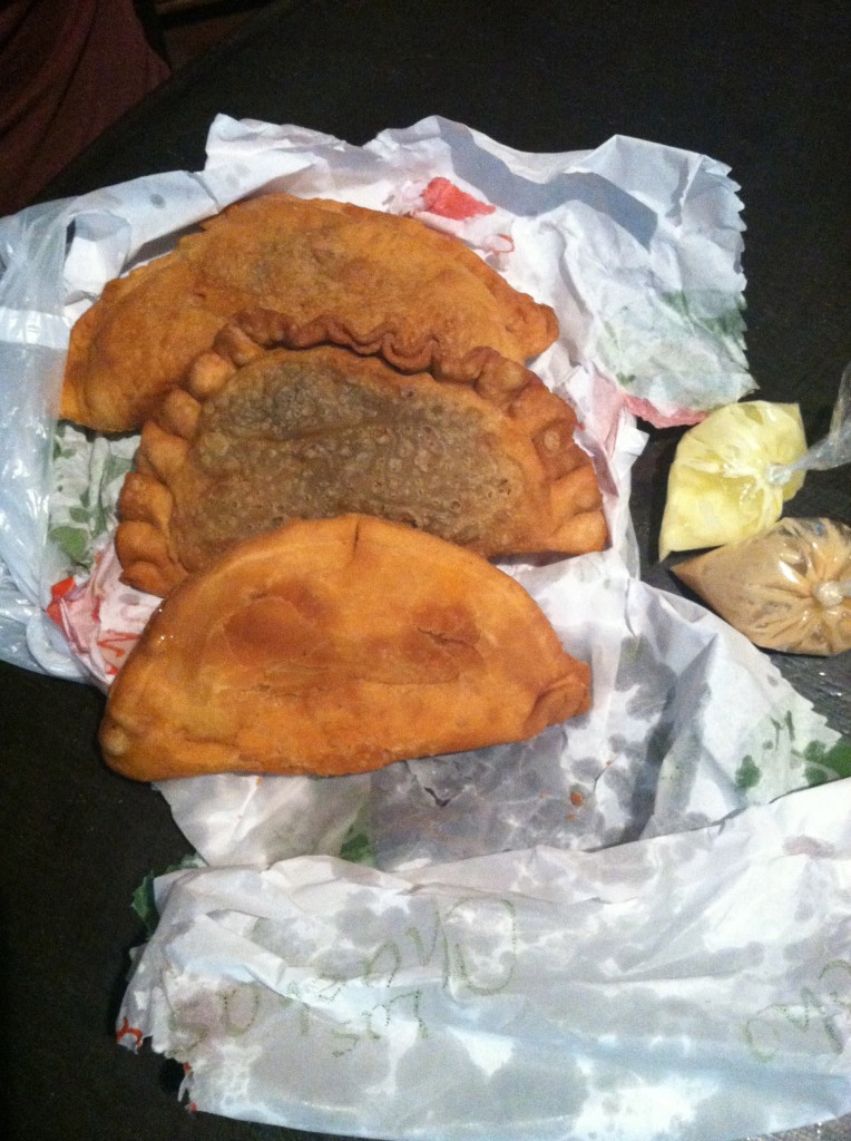
$.30 – $1 Empañadas/Salteñas (fried or baked pastry filled with a variety of things from just cheese to meat, veggies and cheese)

Empañadas

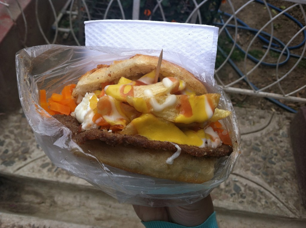
$.80 Trancapecho (heart attack sandwich – deep fat fried meat, deep fat fried egg, rice, carrots, french fries, ketchup, mustard and mayonnaise all stuffed in a giant bun)

IMG_0714

If you haven’t noticed already, there is a lot of fried food here!  There are some healthy options though.  There are vendors selling fruit (especially giant pineapple slices) on most corners.

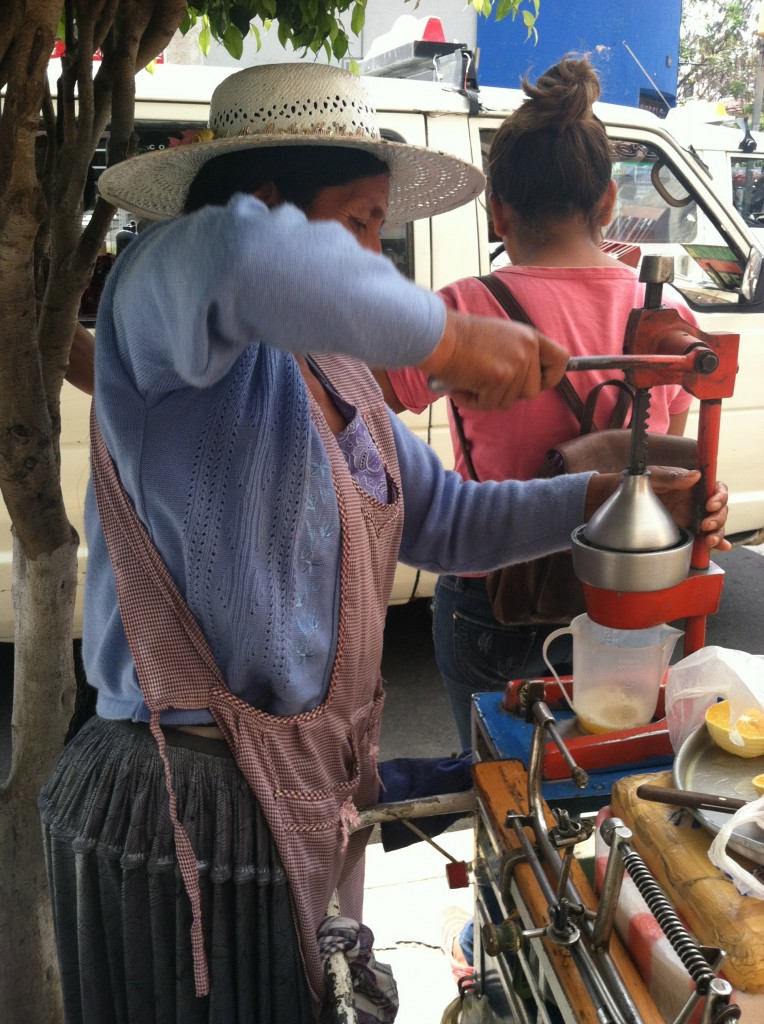
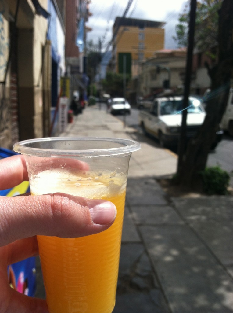
$.45 Fresh Squeezed OJ

Juicing

OJ

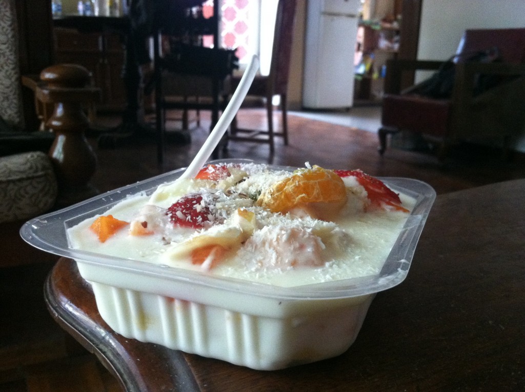
$.85 Fruit and Yogurt Salad

Fruit Salad

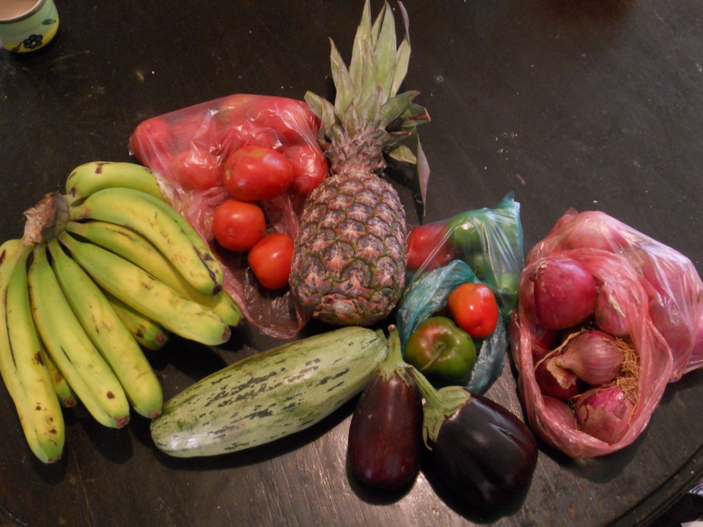
Similar to many of the other South American cities, there are a few grocery stores but most of the produce is sold in open air markets.  We frequent two different ones here – one that is actually indoors called 25 de Mayo and another HUGE outdoor one called La Cancha.  For the most part, produce here is even cheaper than Ecuador.  Here’s a recent produce haul from La Cancha and the prices:

Market trip in Cochabamba

  • 12 Bananas $.85
  • Bag of tomatoes ~12 $.70
  • Pineapple $.45
  • Huge zucchini $.30
  • 2 eggplants $.70
  • Bag of peppers ~10 $.30
  • Bag of small red onions ~15 $.70

Total Price $4

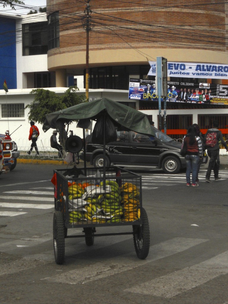
Or if you are too lazy to even go to the market, every morning a man selling produce rolls a cart around our neighborhood selling oranges and bananas.

Fruit Cart


Pedestrian Day in Cochabamba

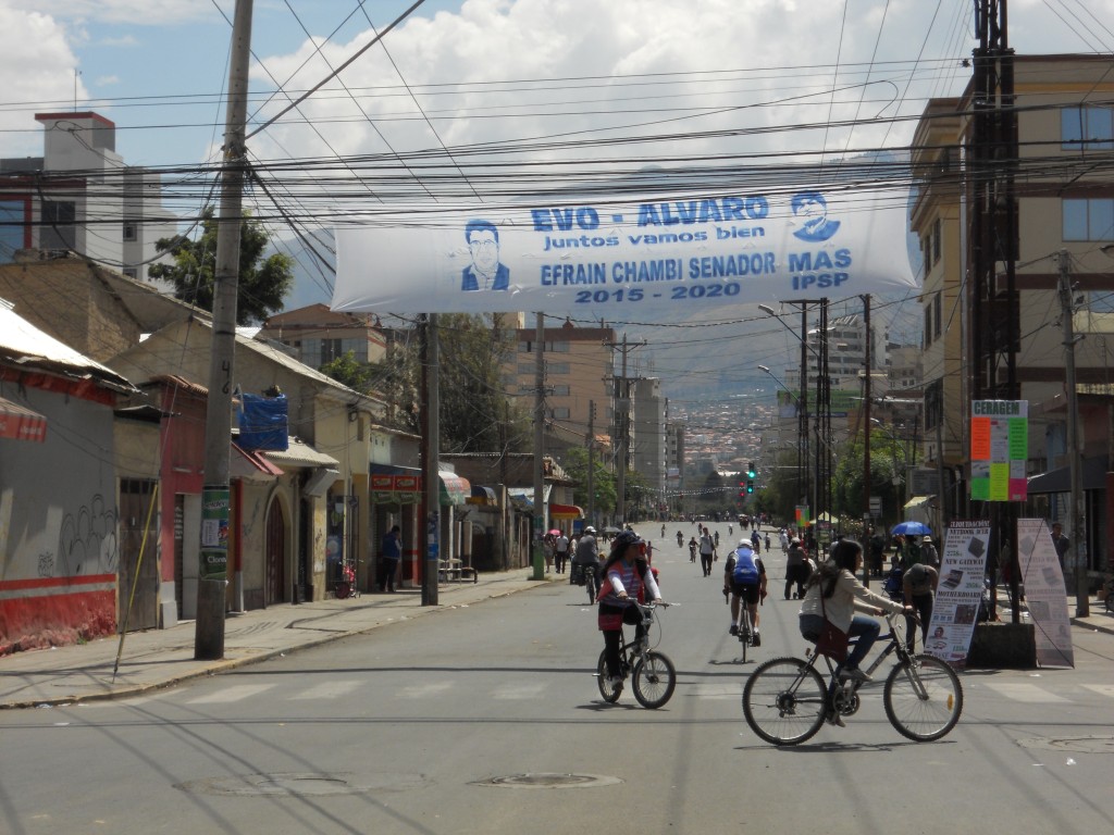
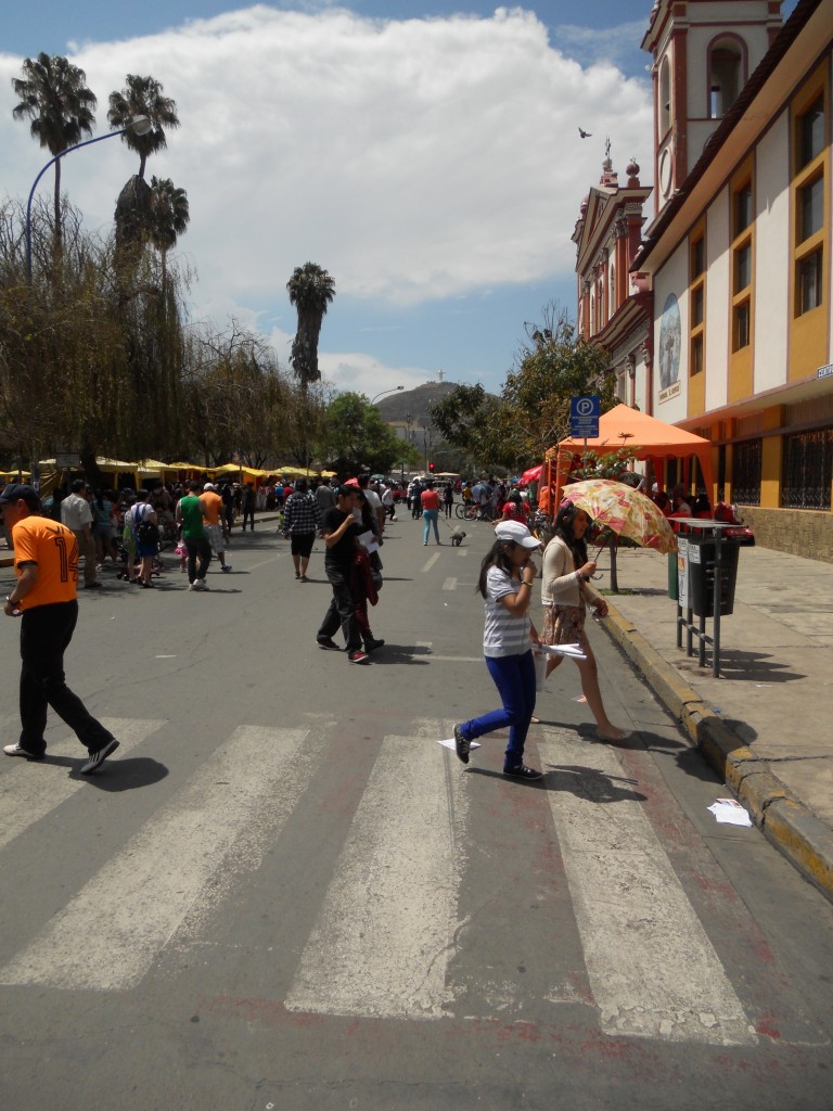
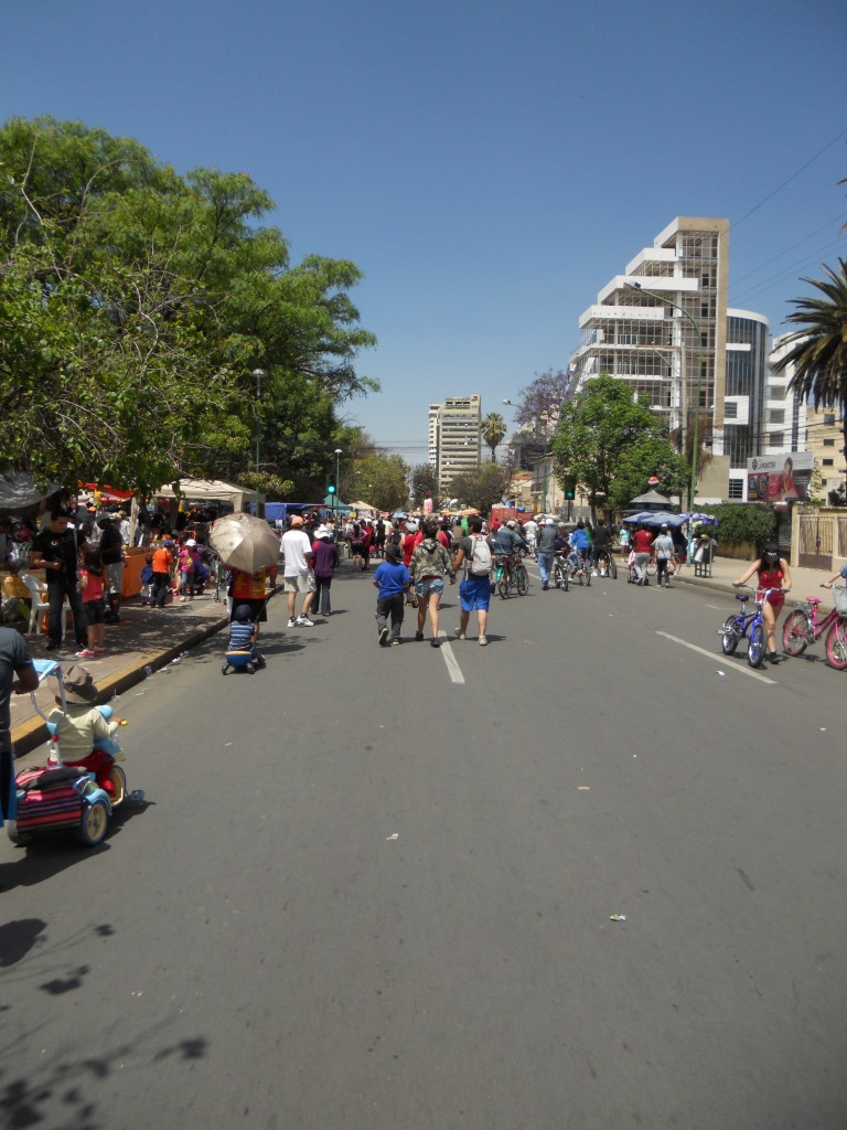
Today was the Day of the Pedestrian (Día del Peatón) here in Cochabamba.  Apparently 4 times a year the city declares a ban on driving to encourage the citizens to get outside and walk or bike around.  Sundays are usually pretty slow around here (and in every other South American city we’ve visited) with many businesses closed and not too many people out and about.  But not today!  There were so many people out enjoying the weather and traffic-less city.

Empty Streets

Cristo and Empty Streets

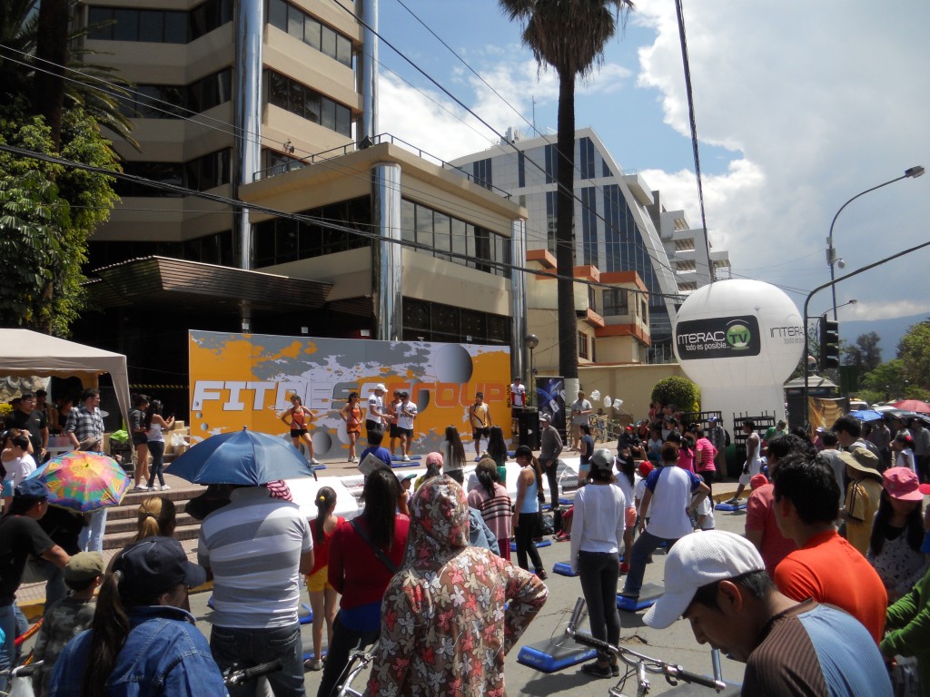
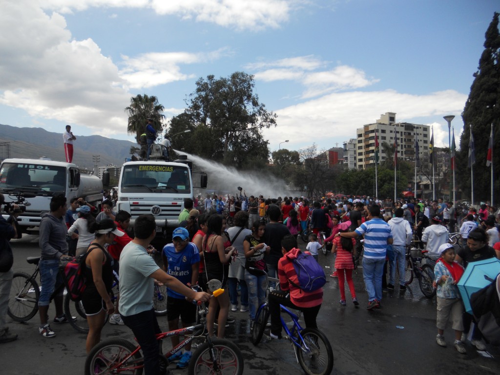
In the center of town there was a festival going on with lots of vendors and different activities. When the sun was out, it was pretty warm and there was a water truck on hand cooling down the crowd.

Around the Park

Exercise Activity

Relaxing in the Park

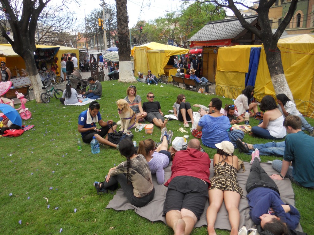
After walking around the festival for a while, we met up with a group of people from Sustainable Bolivia and relaxed and snacked in the shade.  If only every Sunday was like this one!

DSCN2680


What have we been doing {Cochabamba edition}

We have been in Cochabamba, Bolivia for 2 weeks now with 2 more to go.  Since I’m guessing most people have never heard of Cochabamba before (I hadn’t until 3 weeks before we got here!), here’s where it is:

cochabamba map copy

Cochabamba is the 4th largest city is Bolivia and the weather here is awesome.  The city is known for having an “Eternal Spring” , and since we have arrived, everyday has been sunny with highs in the low/mid 70’s.  We ended up in Cochabamba because we decided that we wanted to volunteer for a month somewhere and after a couple of days of searching, ended up finding an organization called Sustainable Bolivia.  Sustainable Bolivia organizes opportunities and housing for volunteers in Cochabamba and they work with 30-some different Bolivian nonprofits.

We are working with a non-profit called Fundación Bosques.  They have several different projects in the Cochabamba area – one that works with children who have to work to provide for their families and two projects that are trying to create sustainable sources of income for poorer rural communities in the mountains so that they can start providing more basic services (like water) to their citizens.  Brandon is redoing their website and I’m helping them build a budget for one of the projects.  I’m also helping out at another organization called DECOOPSO that helps run 6 cooperatives in the area that employ poor and marginalized people.  I’m working with a few other volunteers to get them up and running on an accounting system.

We’ve been really enjoying out time here so far.  We’re living in a house with 6 other volunteers (most also from the U.S.) and Sustainable Bolivia has a lot of organized activities – it’s almost like being in college again and living in the dorms!

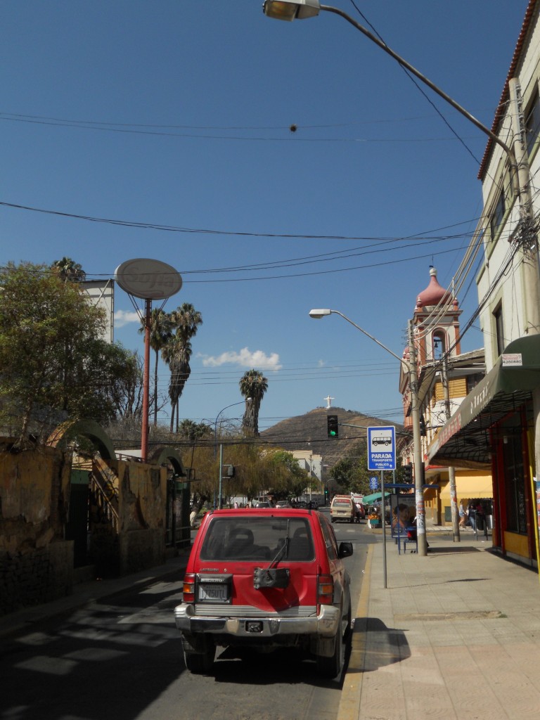
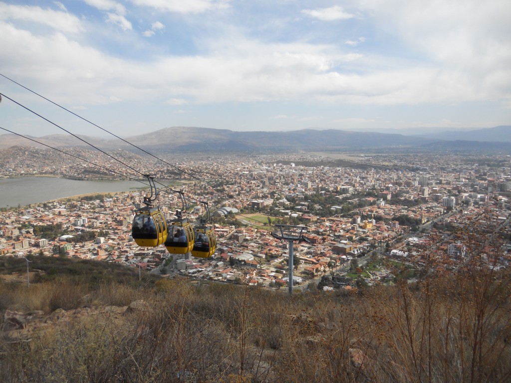
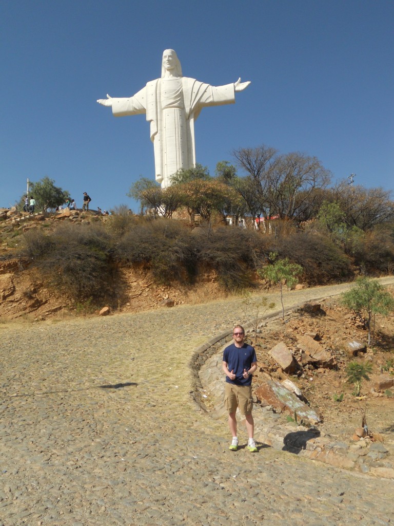
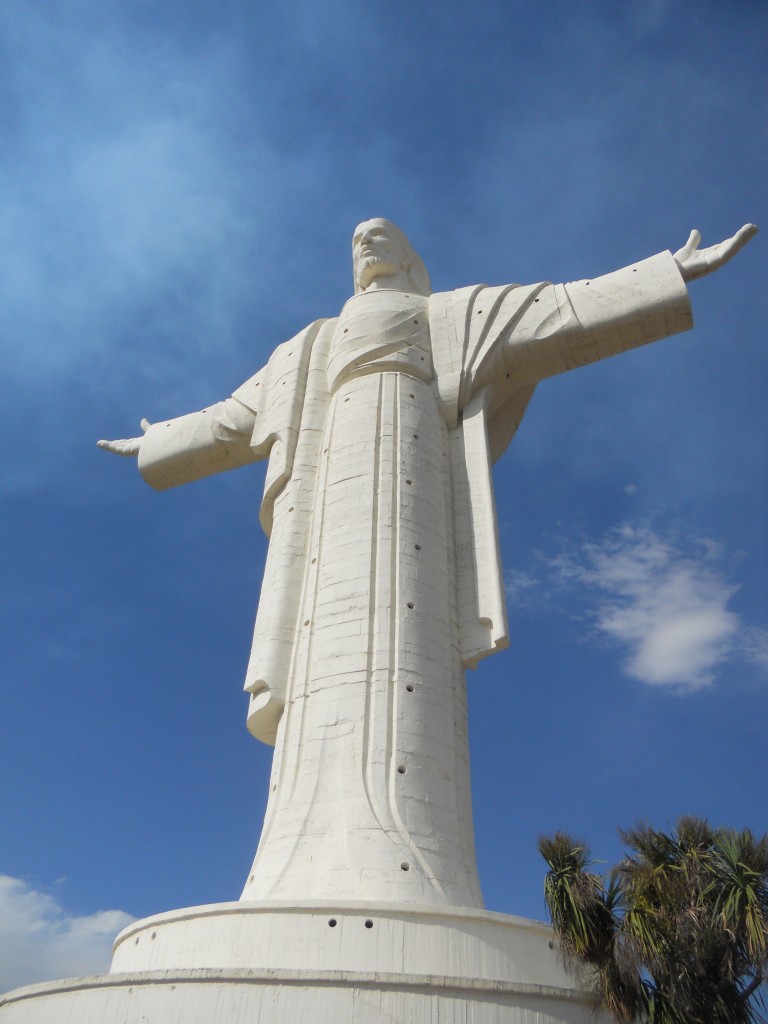
There’s a hill in town with the largest Jesus statue in the world (even larger than Christ the Redeemer in Rio de Janeiro) on it that Brandon and I hiked up the first weekend. Its name is ‘Cristo de la Concordia’.  In the background of this picture, you can see the hill with Cristo at the top.

Cristo in the distance

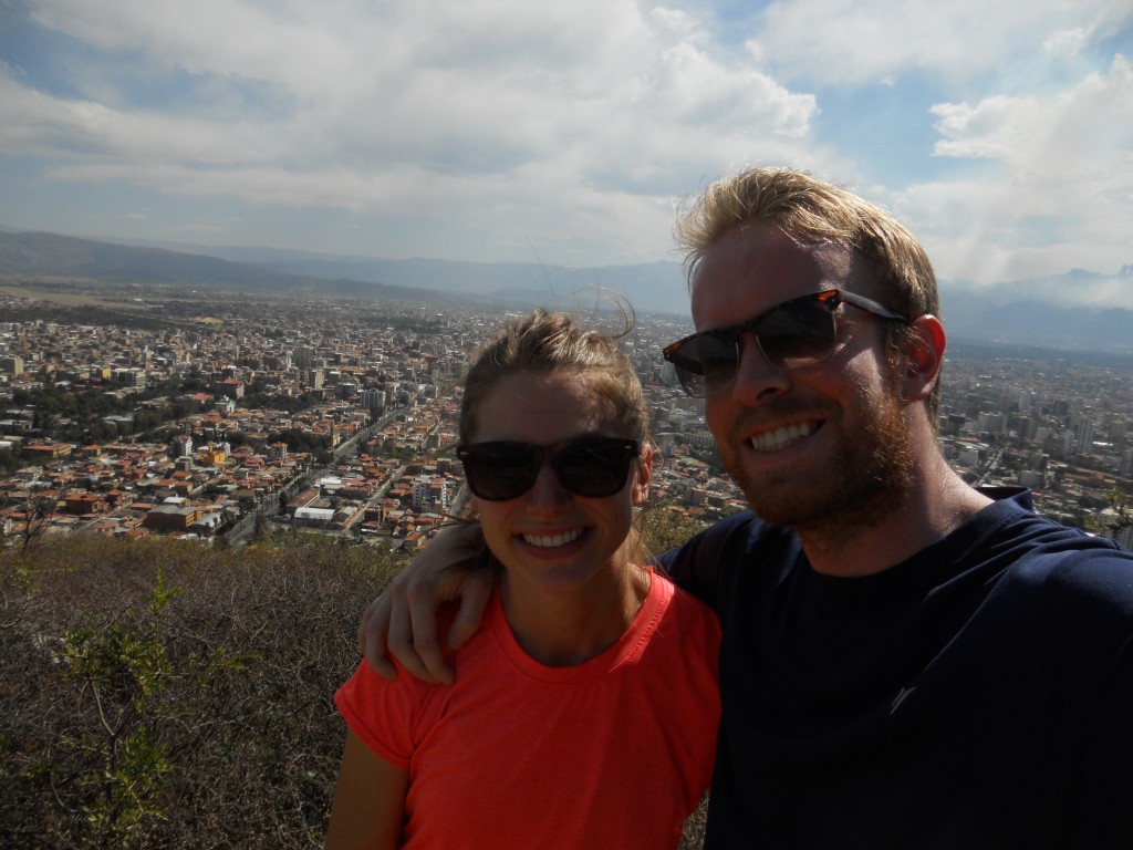
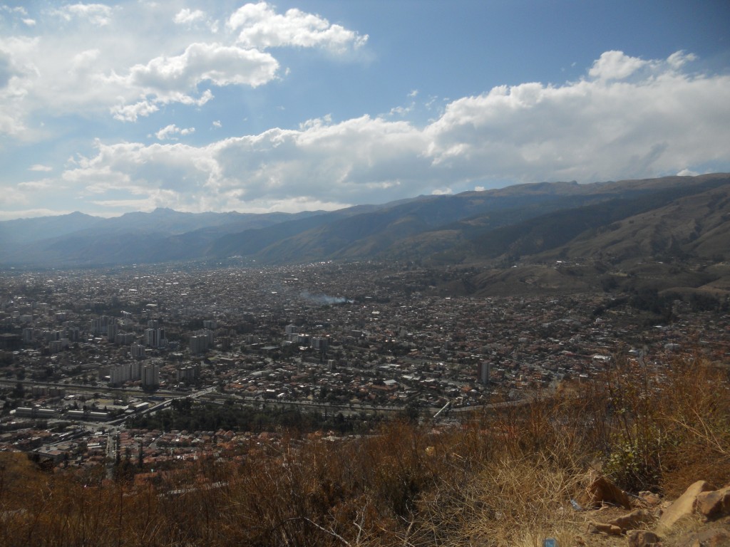
The hike up was actually harder than we thought it would be, but the views were great!

B&E above the city

Cochabamba View

There were also some cable cars that you could take up and down, although we hiked it both ways.

Cable cars

Brandon and Cristo

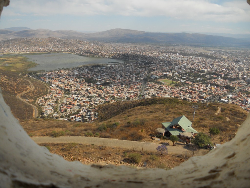
We actually got to climb up inside the Cristo statue for even higher views through the holes in the statue.  The mountains that surround the city are beautiful and it’s on our bucket list before we leave to go hiking and exploring up in the hills.

View from in Cristo

Cristo Up Close

Biking (and surviving) the World’s Most Dangerous Road

Quick aside for a status update: We are currently staying in Cochabamba, Bolivia for the month (already 2 weeks in) where we are volunteering with a couple of local NGO’s. We’ll write more about it soon.

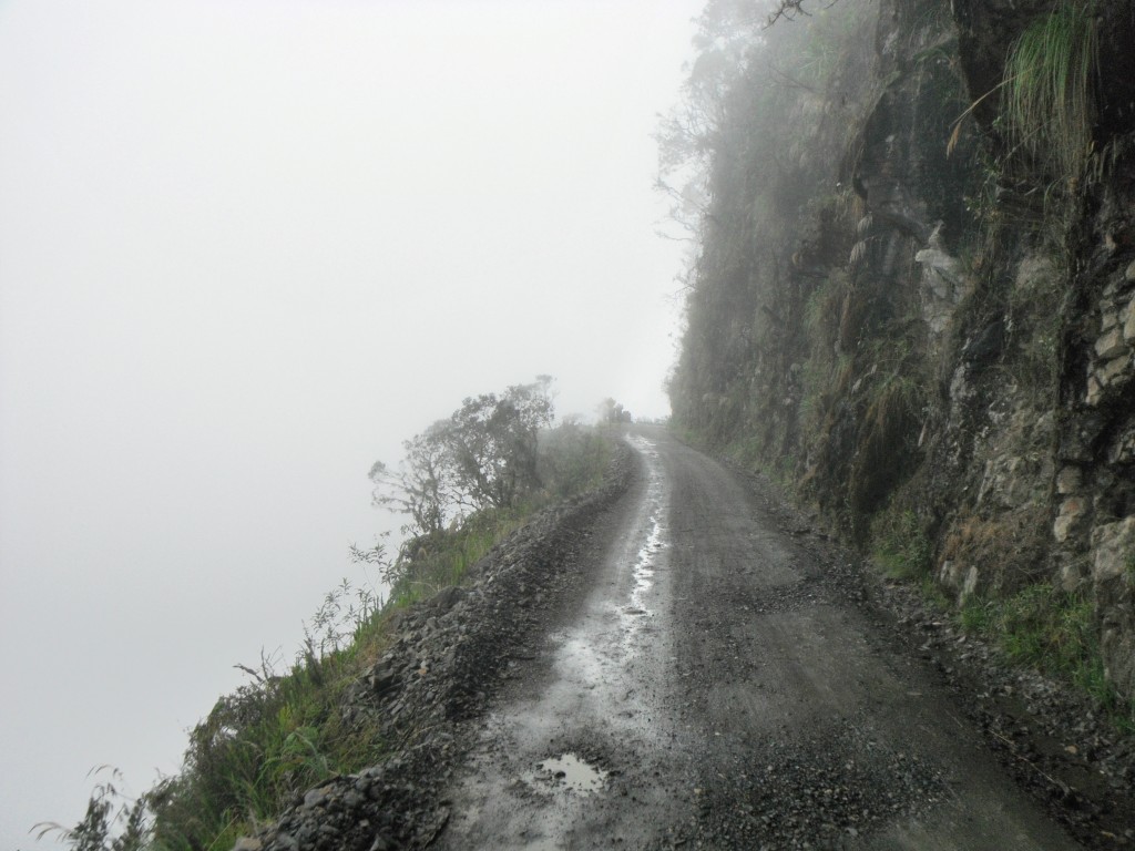
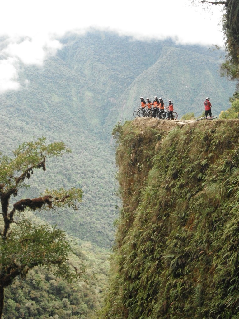
A couple weeks ago, while in La Paz, we took on the task of biking down the “World’s Most Dangerous Road” or “Death Road” as it is also commonly known. This road, with the official name being “North Yungas Road”, is one of the main attractions in the La Paz area. The road is made of mainly dirt/gravel and is approximately 65km long. It connects La Paz with the jungle community of Coroico. What makes the road so dangerous is that its width is essentially one car lane and that it lacks sufficient guard rails. Did I mention that right next to the road are cliffs that feature drops as much as 2000 feet?
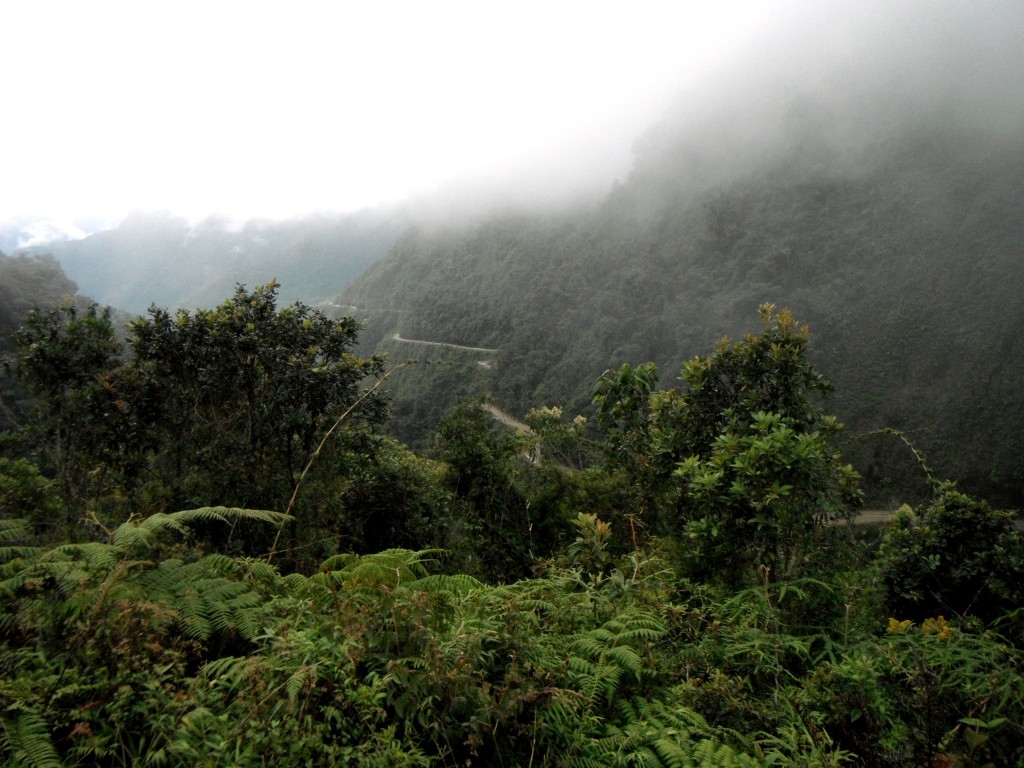
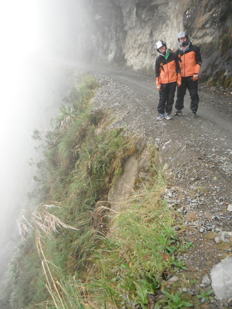
DSCF9284-2

DSCF9273

DSCF9274-2

DSCF9294

In its heyday, there were many accidents where cars would fall off the side of the road. It is estimated that 200 to 300 people died in accidents every year on the road.
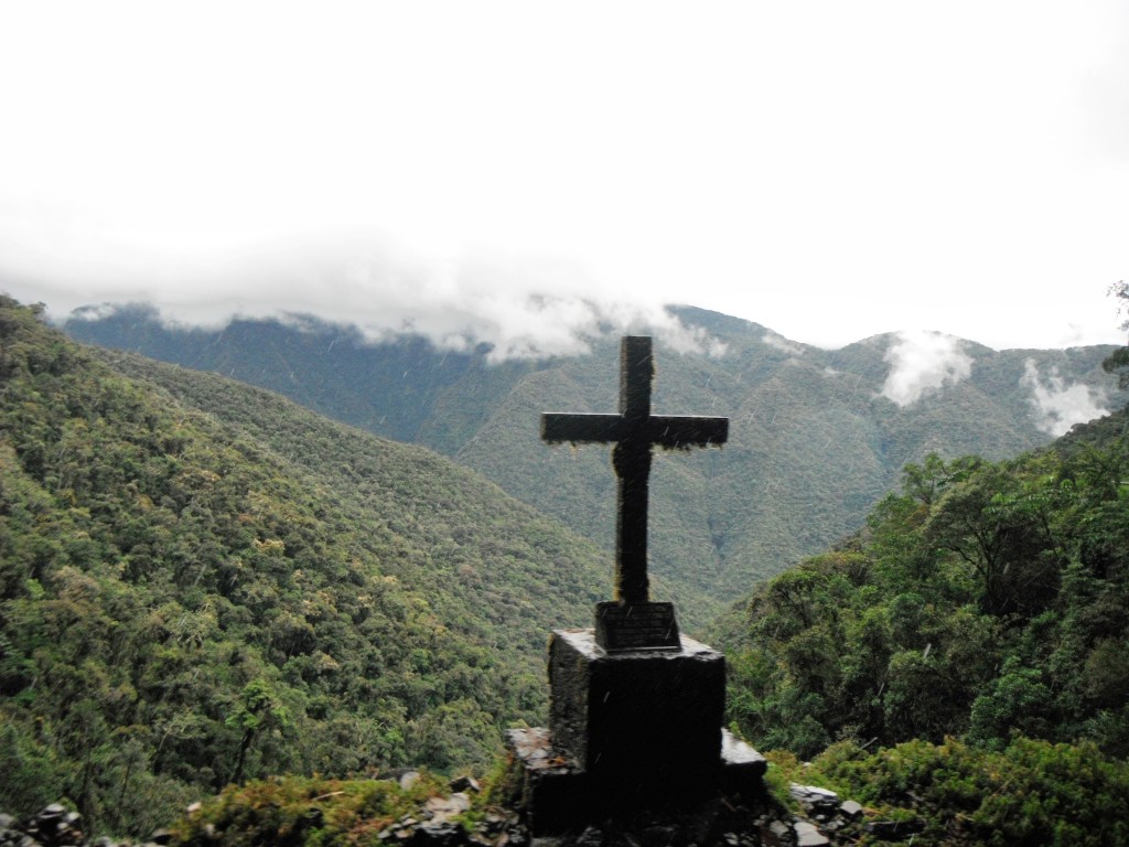
DSCF9306-2

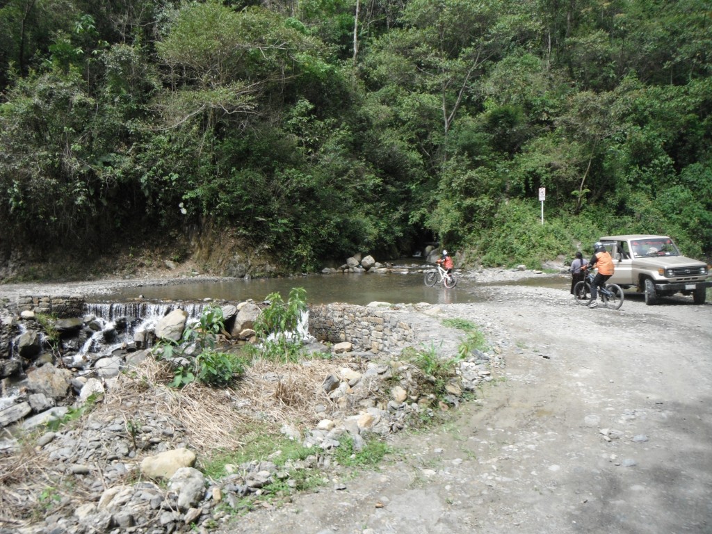
Thankfully, they ended up building a better paved road that connects La Paz to the jungle community in 2006, so cars don’t frequent the road as much anymore. Pretty much the only cars you will see are the support vans from the various bike companies that are leading tours down the road.

For our ride, we ended up going with Vertigo Biking Tours, who were quite excellent. They equipped us with helments, elbow pads, knee pads, gloves, heavy duty pants, and a jacket. The bikes had pretty good shocks, which was a godsend going down the dirt road. With all the equipment, it definitely eased any worries we may have had. The guide also brought along a camera so that we wouldn’t have to worry about taking photos while we were riding, which was a huge plus.
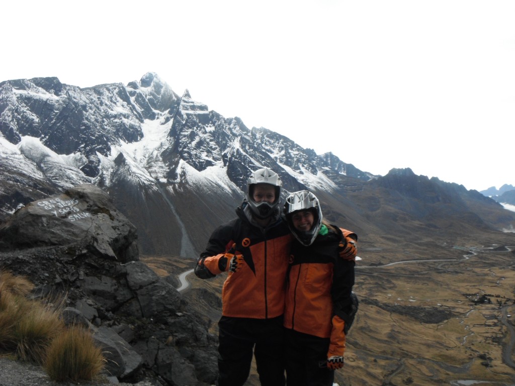
DSCF9242

While I spent the beginning of this post talking up how dangerous the road was, it wasn’t actually that scary. Granted, there still is some danger involved (particularly with falling off the bike), and you do hear the occasional horror stories of tourists falling off the cliff, but from what we could tell, as long as you are not an idiot (aka taking selfies while you are riding close to the edge) and focus on the road, you were fine.
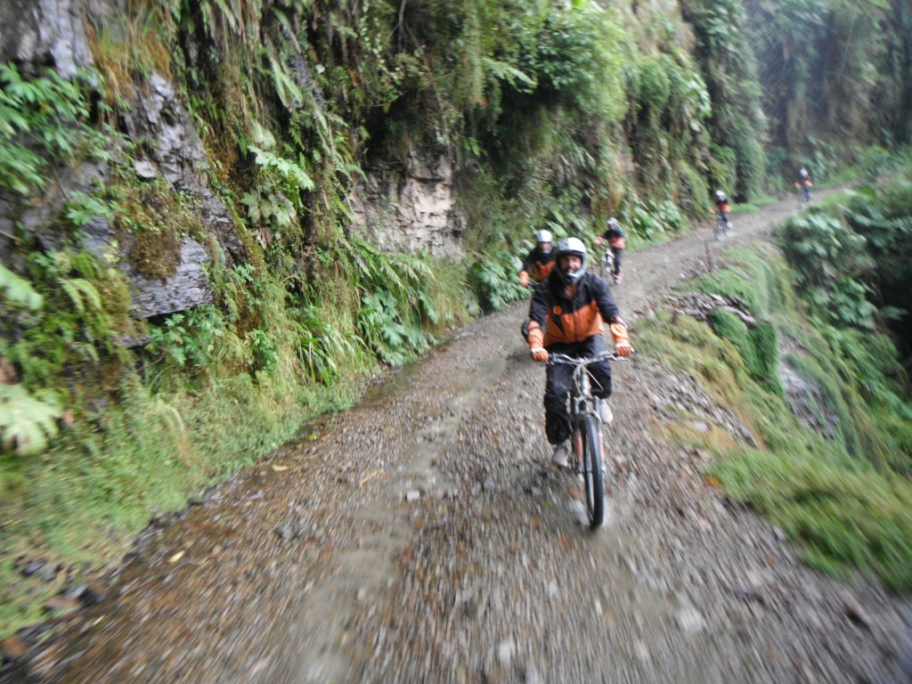
DSCF9305

All in all, the ride was awesome. It was the most fun I’ve had on a bike ride that I can remember. While we were mainly focused on keeping our bike on the road during the ride, it was hard not to marvel at the expansive views of lush mountains/cliffs out of the corner of our eyes. It started at 4650 meters above sea level where it was snowing. And it ended at 1200 meters above sea level in the rainforest. Most of the ride was downhill, so it wasn’t too intense physically. In total, we were probably riding for 3-4 hours, which included a 20km “warmup” on a paved highway before we started on the “World’s Most Dangerous Road”.
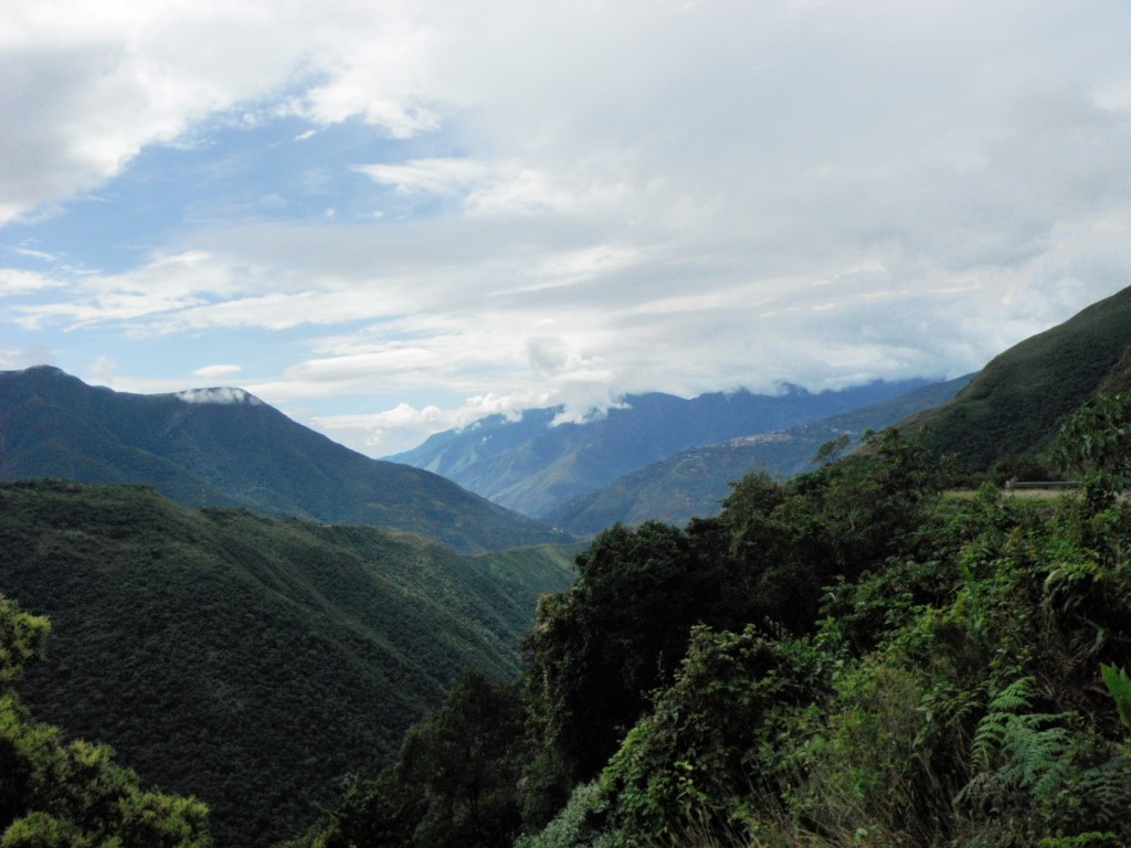
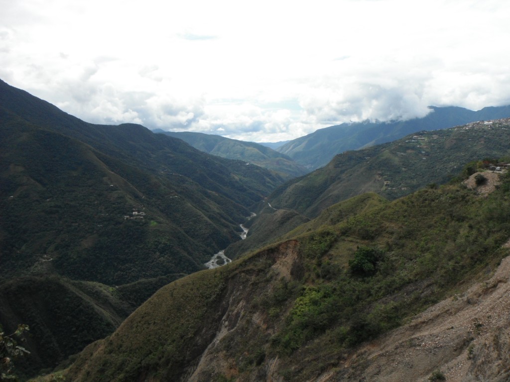
DSCF9317-2 DSCF9319

DSCF9325